
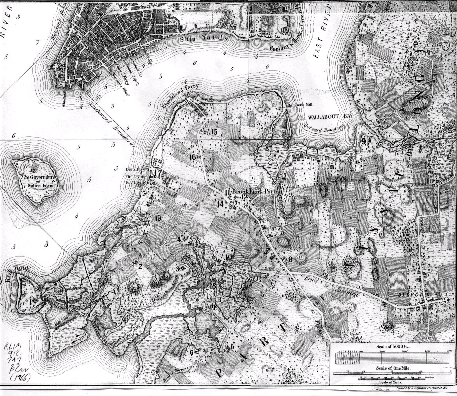
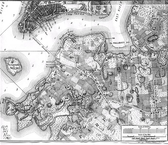
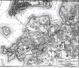
Image: BrooklynMap1766
Size of this preview: 693 × 600 pixels. Other resolutions: 277 × 240 pixels | 1,882 × 1,629 pixels.
Original image (1,882 × 1,629 pixels, file size: 3.11 MB, MIME type: image/jpeg)
Description: Map of Brooklyn, NY made in 1766
Title: BrooklynMap1766
Credit: http://bklyn-genealogy-info.stevemorse.org/Map/1766.Vill.Bklyn.html
Author: Bernard Ratzer
Usage Terms: Public domain
License: Public domain
Attribution Required?: No
Image usage
The following 5 pages link to this image:

All content from Kiddle encyclopedia articles (including the article images and facts) can be freely used under Attribution-ShareAlike license, unless stated otherwise.