
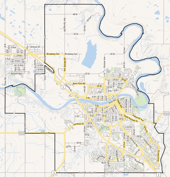
Image: CAN AB 0217 Medicine Hat CITY Map

Size of this PNG preview of this SVG file: 556 × 578 pixels. Other resolution: 231 × 240 pixels.
Original image (SVG file, nominally 556 × 578 pixels, file size: 5.82 MB)
Description: Automatically generated series of street maps depicting Alberta urban communities. Municipal boundaries: AltaLIS open data accessed May 25, 2019. Road network: Statistics Canada NRN 2018. Water features, forest cover, and contour lines, Natural Resources Canada CanVec 50k series. Building footprints and park coverage: OpenStreetMap data accessed August 14, 2019. Generated August 15, 2019.
This graphic was created with QGIS
Usage Terms: Public domain
Image usage
The following page links to this image:

All content from Kiddle encyclopedia articles (including the article images and facts) can be freely used under Attribution-ShareAlike license, unless stated otherwise.