
Image: California Central Valley county map

Size of this PNG preview of this SVG file: 508 × 600 pixels. Other resolution: 203 × 240 pixels.
Original image (SVG file, nominally 621 × 733 pixels, file size: 504 KB)
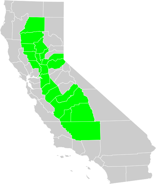
Description: Political map of California displaying in green Central Valley of California counties. Made from Census map in PD.
Title: California Central Valley county map
Credit: Self-made. Inspired by Image:California CentralValley county map.png
Author: User:Thadius856
Permission: Public Domain
Usage Terms: Public domain
License: Public domain
Attribution Required?: No
Image usage
There are no pages that link to this image.

All content from Kiddle encyclopedia articles (including the article images and facts) can be freely used under Attribution-ShareAlike license, unless stated otherwise.