
Image: Canada Central Quebec location map
No higher resolution available.
Canada_Central_Quebec_location_map.png (750 × 520 pixels, file size: 177 KB, MIME type: image/png)
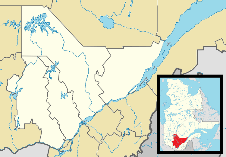
Description: Map of central Québec Province for use in location map templates.
Title: Canada Central Quebec location map
Credit: This file was derived from: Canada Quebec location map 2.svg:
Author: Canada_Quebec_location_map_2.svg: Hanhil (talk) 18:30, 24 September 2009 (UTC) based on EOZyo *derivative work: Gordalmighty
Usage Terms: Creative Commons Attribution-Share Alike 3.0
License: CC BY-SA 3.0
License Link: https://creativecommons.org/licenses/by-sa/3.0
Attribution Required?: Yes
Image usage
The following 21 pages link to this image:
- Baie-Saint-Paul
- Basilica of Sainte-Anne-de-Beaupré
- Berthierville
- Convent of the Redemptoristines
- Coucoucache Indian Reserve No. 24
- Crabtree, Quebec
- Fort Ville-Marie
- Joliette
- La Malbaie
- Lachute
- Louiseville
- Manawan
- Mascouche
- Mont-Laurier
- Mont-Tremblant
- Obedjiwan
- Petite-Rivière-Saint-François
- Pont-Rouge
- Rivière-Rouge
- Saint-Lin–Laurentides
- Sainte-Catherine-de-la-Jacques-Cartier

All content from Kiddle encyclopedia articles (including the article images and facts) can be freely used under Attribution-ShareAlike license, unless stated otherwise.