
Image: Canada New Brunswick location map 2

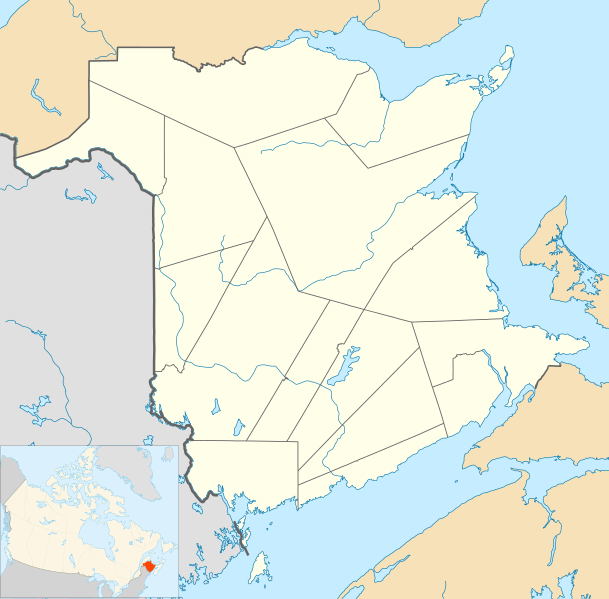
Description: Location map of New Brunswick, Canada
Title: Canada New Brunswick location map 2
Credit: Own work, File:Canada_New_Brunswick_location_map.svg
Author: Hanhil (talk) 18:36, 24 September 2009 (UTC) based on work by NordNordWest
Permission: I, the copyright holder of this work, hereby publish it under the following license: This file is licensed under the Creative Commons Attribution-Share Alike 3.0 Unported license. You are free: to share – to copy, distribute and transmit the work to remix – to adapt the work Under the following conditions: attribution – You must attribute the work in the manner specified by the author or licensor (but not in any way that suggests that they endorse you or your use of the work). share alike – If you alter, transform, or build upon this work, you may distribute the resulting work only under the same or similar license to this one. http://creativecommons.org/licenses/by-sa/3.0 CC BY-SA 3.0 Creative Commons Attribution-Share Alike 3.0 truetrue
Usage Terms: Creative Commons Attribution-Share Alike 3.0
License: CC BY-SA 3.0
License Link: http://creativecommons.org/licenses/by-sa/3.0
Attribution Required?: Yes
Image usage
The following 51 pages link to this image:
- Baie Verte (Northumberland Strait)
- Bolton Lake (New Brunswick)
- Buctouche 16
- Burnt Church First Nation
- Cambridge-Narrows
- Campobello Island
- Caraquet Bay
- Cassidy Lake (New Brunswick)
- Chamcook Lake
- Eel Ground First Nation
- Eel River Bar First Nation
- Elsipogtog First Nation
- Esgenoôpetitj Indian Reserve No. 14
- Fredericton
- Fundy National Park
- Grand Lake (New Brunswick)
- Grand Manan
- Holmes Lake (New Brunswick)
- Indian Island 28
- Kent Island (New Brunswick)
- Kouchibouguac National Park
- Lac Baker (New Brunswick)
- Lake George (New Brunswick)
- Lake Magaguadavic
- Lake Utopia (New Brunswick)
- Lamèque
- Lamèque Island
- List of historic places in Moncton
- List of historic places in St. Andrews, New Brunswick
- Lockhart Lake (New Brunswick)
- Metepenagiag Miꞌkmaq Nation
- Miscou Island
- Moncton
- Mount Carleton
- Mount Frederick Clarke
- Mount Pleasant Caldera
- Oromocto
- Pamdenec, New Brunswick
- Quispamsis
- Shediac
- Soegao 35
- St. George, New Brunswick
- St. Mary's First Nation
- St. Michael's Basilica (Miramichi, New Brunswick)
- Sugarloaf Provincial Park
- The Brothers 18
- Tobique First Nation
- Trudel, New Brunswick
- White Head Island
- World's largest axe
- Template:Location map Canada New Brunswick
