
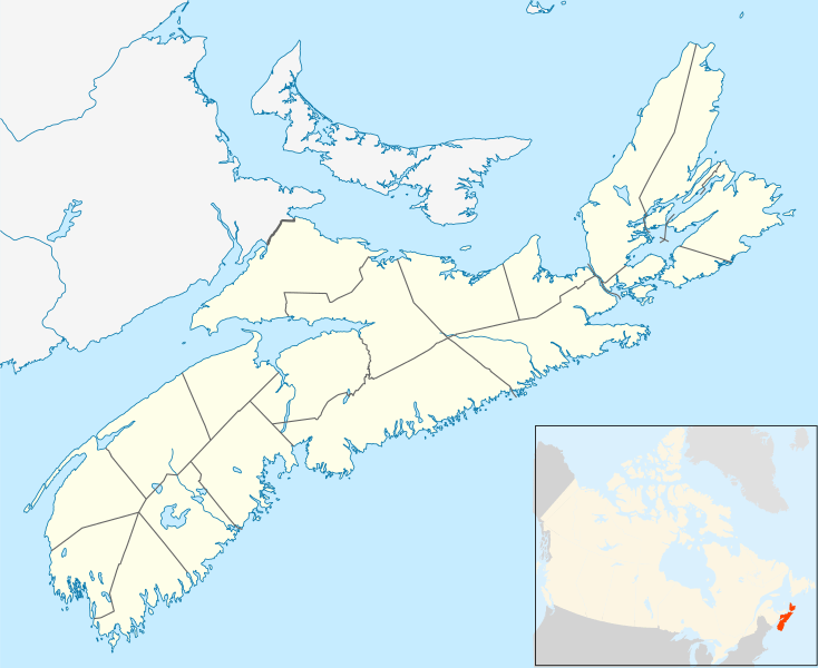
Image: Canada Nova Scotia location map 2

Size of this PNG preview of this SVG file: 734 × 599 pixels. Other resolution: 294 × 240 pixels.
Original image (SVG file, nominally 1,342 × 1,096 pixels, file size: 664 KB)
Description: Location map of Nova Scotia, Canada
Title: Canada Nova Scotia location map 2
Credit: Own work, using File:Canada Nova Scotia location map.svg by NordNordWest
Author: Hanhil (talk) 19:46, 23 September 2009 (UTC)
Permission: I, the copyright holder of this work, hereby publish it under the following license:
Usage Terms: Creative Commons Attribution-Share Alike 3.0
License: CC BY-SA 3.0
License Link: https://creativecommons.org/licenses/by-sa/3.0
Attribution Required?: Yes
Image usage
More than 100 pages link to this image. The following list shows the first 100 page links to this image only. A full list is available.
- Albert Bridge, Nova Scotia
- Albro Lake
- Amherst, Nova Scotia
- Annapolis Royal
- Antigonish
- Aspotogan Peninsula
- Aylesford, Nova Scotia
- Aylesford Lake
- Baddeck
- Baddeck, Nova Scotia
- Bakeapple Barren Northeast
- Barra Strait
- Bay of Fundy
- Bayers Lake
- Beaubassin
- Berwick, Nova Scotia
- Bible Hill, Nova Scotia
- Big Molly Upsim Lake
- Blacketts Lake
- Blomidon Provincial Park
- Bloody Creek crater
- Bras d'Or Lake
- Bridgewater, Nova Scotia
- Broughton, Nova Scotia
- Canning, Nova Scotia
- Canso Canal
- Cape Blomidon
- Cape Breton Highlands
- Cape Breton Highlands National Park
- Cape Chignecto
- Cape Dauphin
- Cape Forchu, Nova Scotia
- Cape Forchu Lighthouse
- Cape George, Nova Scotia
- Cape Sable Island
- Catcha Lake
- Chapel Island (Canada)
- Chebucto Head
- Chebucto Peninsula
- Chedabucto Bay
- Chester, Nova Scotia
- Chocolate Lake
- Chéticamp Flowage
- Clark's Harbour
- Cobequid Bay
- Connaught Battery
- Crescent Beach, Lunenburg County, Nova Scotia
- Cromarty Tennis Club
- Debert
- Debert Palaeo-Indian Site
- Devils Island (Nova Scotia)
- Digby, Nova Scotia
- Dover, Nova Scotia
- Dover Island (Nova Scotia)
- East Bay (Nova Scotia)
- East Bay Hills (Nova Scotia)
- East Ironbound
- Ellen Brown Lake
- Enchanted Lake
- Enfield, Nova Scotia
- Eunice Lake (Nova Scotia)
- Greenwood, Nova Scotia
- Halifax, Nova Scotia
- Havre Boucher
- Hebbville, Nova Scotia
- Joggins Fossil Cliffs
- Kentville
- Kingston, Nova Scotia
- Lawrencetown, Annapolis County
- Lockeport
- Lunenburg, Nova Scotia
- Mahone Bay, Nova Scotia
- Middleton, Nova Scotia
- Minas Basin
- Mulgrave, Nova Scotia
- New Glasgow, Nova Scotia
- New Minas
- North Preston
- Onslow, Nova Scotia
- Oxford, Nova Scotia
- Pictou
- Port Hawkesbury
- Port Williams, Nova Scotia
- Portapique
- Pugwash, Nova Scotia
- River Hebert, Nova Scotia
- Shelburne, Nova Scotia
- St. Peter's, Nova Scotia
- Stellarton
- Stewiacke
- Sydney, Nova Scotia
- Tatamagouche
- Tiverton, Nova Scotia
- Trenton, Nova Scotia
- Truro, Nova Scotia
- Upper North Sydney
- Wentworth, Nova Scotia
- Westport, Nova Scotia
- Westville, Nova Scotia
- Weymouth, Nova Scotia

All content from Kiddle encyclopedia articles (including the article images and facts) can be freely used under Attribution-ShareAlike license, unless stated otherwise.