
Image: Canada Prince Edward Island location map 2

Size of this PNG preview of this SVG file: 758 × 600 pixels. Other resolution: 303 × 240 pixels.
Original image (SVG file, nominally 1,039 × 822 pixels, file size: 248 KB)
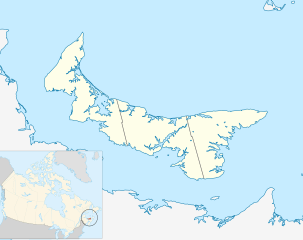
Description: Location map of Prince Edward Island, Canada
Title: Canada Prince Edward Island location map 2
Credit: Own work, based on File:Canada_Prince_Edward_Island_location_map.svg
Author: Hanhil (talk) 18:14, 24 September 2009 (UTC) based on work by NordNordWest
Permission: I, the copyright holder of this work, hereby publish it under the following license:
Usage Terms: Creative Commons Attribution-Share Alike 3.0
License: CC BY-SA 3.0
License Link: https://creativecommons.org/licenses/by-sa/3.0
Attribution Required?: Yes
Image usage
The following 25 pages link to this image:
- Charlottetown
- Goose River (Kings County)
- Governors Island (Prince Edward Island)
- Lennox Island (Prince Edward Island)
- Lennox Island 1
- Lennox Island 5
- Lennox Island 6
- List of historic places in Charlottetown
- List of historic places in Summerside, Prince Edward Island
- List of islands of Prince Edward Island
- Malpeque Bay
- Morell 2
- North Cape (Prince Edward Island)
- North Cape Light
- North Rustico Harbour Light
- Panmure Island (Prince Edward Island)
- Point Prim Light Station
- Poplar Island (Prince Edward Island)
- Rocky Point 3
- Scotchfort 4
- Seacow Head Light
- Sturgeon River (Prince Edward Island)
- West Cape, Prince Edward Island
- West Point, Prince Edward Island
- Wood Islands Lighthouse

All content from Kiddle encyclopedia articles (including the article images and facts) can be freely used under Attribution-ShareAlike license, unless stated otherwise.