
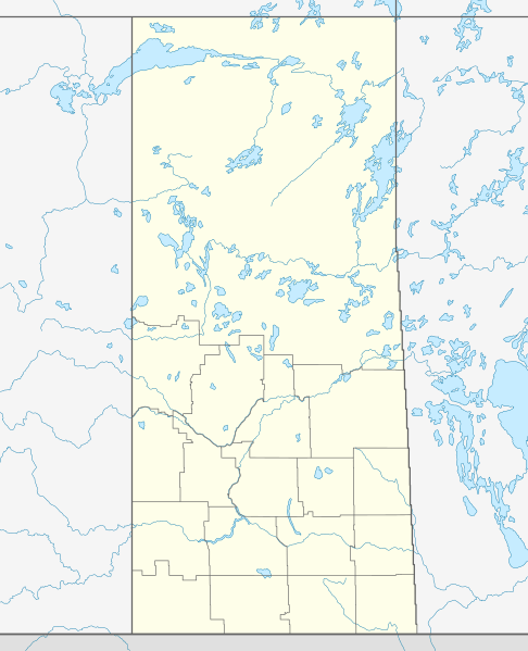
Image: Canada Saskatchewan location map

Size of this PNG preview of this SVG file: 486 × 599 pixels. Other resolution: 195 × 240 pixels.
Original image (SVG file, nominally 1,512 × 1,863 pixels, file size: 720 KB)
Description: Location map of Saskatchewan, Canada
Title: Canada Saskatchewan location map
Credit: Own work, using United States National Imagery and Mapping Agency data World Data Base II data Statistics Canada/Statistique Canada
Author: NordNordWest
Permission: I, the copyright holder of this work, hereby publish it under the following license:
Usage Terms: Creative Commons Attribution-Share Alike 3.0
License: CC BY-SA 3.0
License Link: https://creativecommons.org/licenses/by-sa/3.0
Attribution Required?: Yes
Image usage
The following 34 pages link to this image:
- Batoche, Saskatchewan
- Cannington Manor Provincial Park
- Carswell crater
- Claybank Brick Plant
- Cumberland House Provincial Park
- Deep Bay crater
- Deschambault Lake, Saskatchewan
- Esterhazy Flour Mill
- Estevan
- Fond du Lac Denesuline First Nation
- Fort Livingstone (Saskatchewan)
- Fort Qu'Appelle
- Girvin, Saskatchewan
- Gow crater
- Green Lake, Saskatchewan
- Harris, Saskatchewan
- Leoville, Saskatchewan
- Lumsden, Saskatchewan
- Maple Creek crater
- Martensville
- Moose Jaw
- Nipawin
- Nistowiak Falls
- North Battleford
- Nut Mountain
- Pelican Narrows, Saskatchewan
- Sandy Bay, Saskatchewan
- Saskatoon
- Stanley Mission
- Stranraer, Saskatchewan
- Swift Current
- Viewfield crater
- Wood Mountain, Saskatchewan
- Zehner

All content from Kiddle encyclopedia articles (including the article images and facts) can be freely used under Attribution-ShareAlike license, unless stated otherwise.