
Image: Canada Southern Ontario location map 2

Size of this preview: 800 × 577 pixels. Other resolutions: 320 × 231 pixels | 994 × 717 pixels.
Original image (994 × 717 pixels, file size: 296 KB, MIME type: image/png)
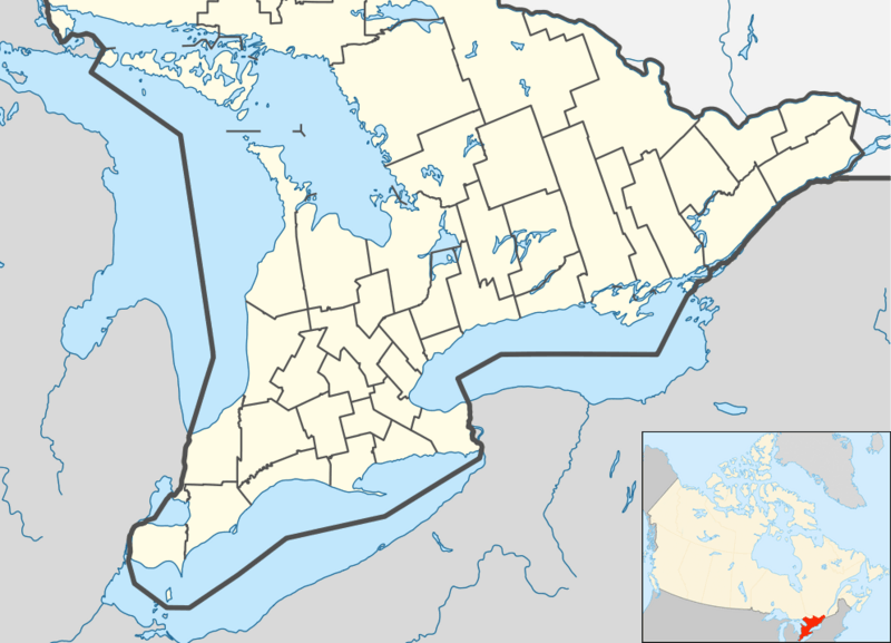
Description: Location map of Southern Ontario, Canada. Equirectangular projection, N/S stretching 155%. Geographic limits of the map: N: 46.4° N S: 41.4° N W: 84.7° W E: 74.0° W
Title: Canada Southern Ontario location map 2
Credit: File:Canada Ontario location map 2.svg
Author: User:NordNordWest
Usage Terms: Creative Commons Attribution-Share Alike 3.0
License: CC BY-SA 3.0
License Link: https://creativecommons.org/licenses/by-sa/3.0
Attribution Required?: Yes
Image usage
More than 100 pages link to this image. The following list shows the first 100 page links to this image only. A full list is available.
- Akwesasne 59
- Alderville, Ontario
- Algonquins of Pikwàkanagàn First Nation
- Amherst Island
- Amherstburg
- Aundeck Omni Kaning First Nation
- Barrie
- Basilica of Our Lady Immaculate
- Bay of Quinte
- Beausoleil First Nation
- Belleville, Ontario
- Bob Hunter Memorial Park
- Bon Echo Provincial Park
- Bradford West Gwillimbury
- Brampton
- Brampton, Ontario
- Brantford
- Brock, Ontario
- Brockville
- Bronte Creek Provincial Park
- Burl's Creek Event Grounds
- Burlington, Ontario
- Caldwell First Nation
- Cape Croker Hunting Ground 60B
- Carleton Place
- Cathedral Basilica of Christ the King
- Chief's Point 28
- Chippewa Island
- Chippewas of Georgina Island First Nation
- Chippewas of Georgina Island First Nation 33A
- Chippewas of Kettle and Stony Point First Nation
- Chippewas of the Thames First Nation
- Christian Island 30
- Christian Island 30A
- Cobourg
- Cockburn Island (Ontario)
- Collingwood, Ontario
- Crawford Lake Conservation Area
- Curve Lake 35A
- Curve Lake First Nation 35
- Darlington Provincial Park
- Delaware Nation at Moraviantown
- Dokis First Nation
- Dysart et al, Ontario
- East Gwillimbury
- French River 13
- Garden Island (Ontario)
- Georgian Bay Islands National Park
- Glebe Farm 40B
- Greater Napanee
- Guelph
- Halton Hills
- Henvey Inlet 2
- Hiawatha First Nation
- Holleford crater
- Indian River (reserve)
- Innisfil
- Islands in the Trent Waters 36A
- Kingston, Ontario
- Kitchener, Ontario
- Leamington, Ontario
- M'Chigeeng First Nation
- Magnetawan First Nation
- Mer Bleue Bog
- Midland, Ontario
- Mississaugas of Scugog Island First Nation
- Mississaugas of the Credit First Nation
- Mnjikaning First Nation 32
- Moose Deer Point First Nation
- Munsee-Delaware Nation
- Naiscoutaing 17A
- Neyaashiinigmiing 27
- Niagara-on-the-Lake
- Niagara Falls station (Ontario)
- Oneida Nation of the Thames
- Orillia
- Oshawa
- Owen Sound
- Petawawa
- Peterborough, Ontario
- Port Colborne
- Port Dover, Ontario
- Presqu'ile Provincial Park
- Puslinch, Ontario
- Quinte West
- Sandbanks Provincial Park
- Sarnia
- Saugeen Shores
- Sifton Bog
- Six Nations of the Grand River
- South-West Oxford
- St. Catharines
- Thorold
- Thousand Islands National Park
- Tillsonburg
- Tiny Marsh Provincial Wildlife Area
- Tobermory, Ontario
- Vaughan
- Wasaga Beach
- Welland

All content from Kiddle encyclopedia articles (including the article images and facts) can be freely used under Attribution-ShareAlike license, unless stated otherwise.