
Image: Canada Southern Quebec location map
No higher resolution available.
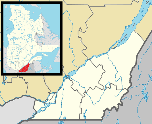
Canada_Southern_Quebec_location_map.png (535 × 435 pixels, file size: 133 KB, MIME type: image/png)
Description: Map of southern Québec Province within Canada, for use in location map templates.
Title: Canada Southern Quebec location map
Credit: This file was derived from: Canada Quebec location map 2.svg:
Author: Canada_Quebec_location_map_2.svg: Hanhil (talk) 18:30, 24 September 2009 (UTC) based on EOZyo derivative work: Gordalmighty
Usage Terms: Public domain
License: Public domain
Attribution Required?: No
Image usage
The following 37 pages link to this image:
- Boucherville
- Brossard
- Cowansville
- Dollard-des-Ormeaux
- Dorval
- Dowker Island
- Heron Island (Quebec)
- Kahnawake
- Kanesatake
- L'Île-Dorval
- Longueuil
- Mont-Orford National Park
- Mont-Saint-Hilaire
- Mont Bellevue
- Mont Boisjoli
- Mont Brome
- Mont Chapman
- Mont Ham
- Mont Sainte-Cécile
- Mont Shefford
- Mount Hereford
- Mount Pinacle
- Mount Royal, Quebec
- Odanak
- Pointe-Claire
- Province Island
- Rigaud, Quebec
- Sacré-Cœur-de-Jésus, Quebec
- Saint-Augustin-de-Desmaures
- Saint-Bruno-de-Montarville
- Senneville, Quebec
- Sherbrooke
- Sorel-Tracy
- Sutton, Quebec
- Vaudreuil-Dorion
- Victoriaville
- Wôlinak

All content from Kiddle encyclopedia articles (including the article images and facts) can be freely used under Attribution-ShareAlike license, unless stated otherwise.