
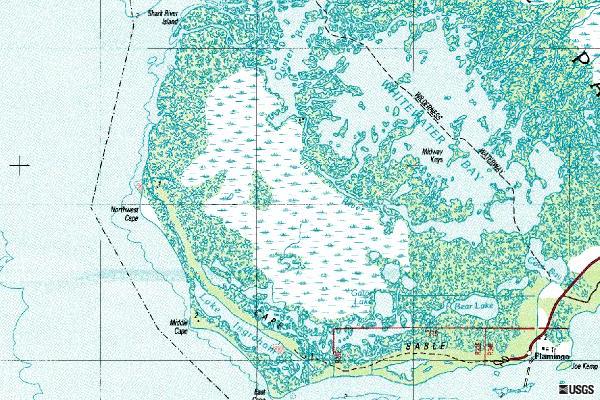
Image: CapeSableTopo
No higher resolution available.
CapeSableTopo.jpg (600 × 400 pixels, file size: 88 KB, MIME type: image/jpeg)
Description: USGS topographic map covering Cape Sable in Florida
Title: CapeSableTopo
Credit: USGS The National Map, via MSR Maps (formerly TerraServer-USA) http://msrmaps.com/image.aspx?T=2&S=16&Z=17&X=38&Y=217&W=1
Author: United States Geological Survey (USGS)
Permission: Public domain
Usage Terms: Public domain
License: Public domain
Attribution Required?: No
Image usage
There are no pages that link to this image.

All content from Kiddle encyclopedia articles (including the article images and facts) can be freely used under Attribution-ShareAlike license, unless stated otherwise.