
Image: Cape May, New Jersey 1777
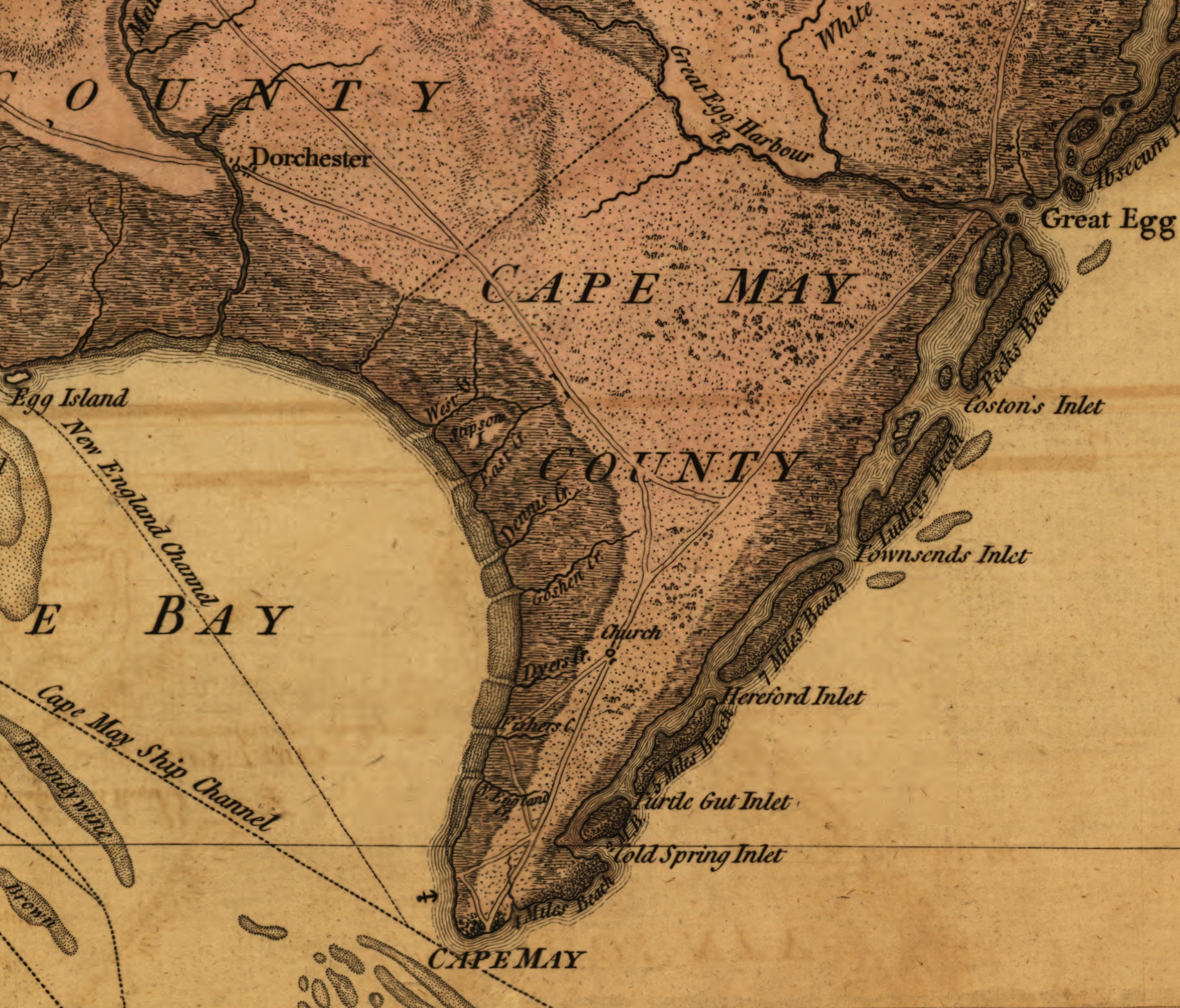
Description: Detail of a 1777 map depicting Cape May County, New Jersey. The area shown was the scene of military activity, the Battle of Turtle Gut Inlet, early in the American Revolutionary War.
Title: The Province of New Jersey, divided into East and West, commonly called the Jerseys. Engraved & published by Wm. Faden.
Credit: This map is available from the United States Library of Congress's Geography & Map Division under the digital ID g3810.ct000079. This tag does not indicate the copyright status of the attached work. A normal copyright tag is still required. See Commons:Licensing for more information.
Author: William Faden
Usage Terms: Public domain
License: Public domain
Attribution Required?: No
Image usage
The following 4 pages link to this image:
