
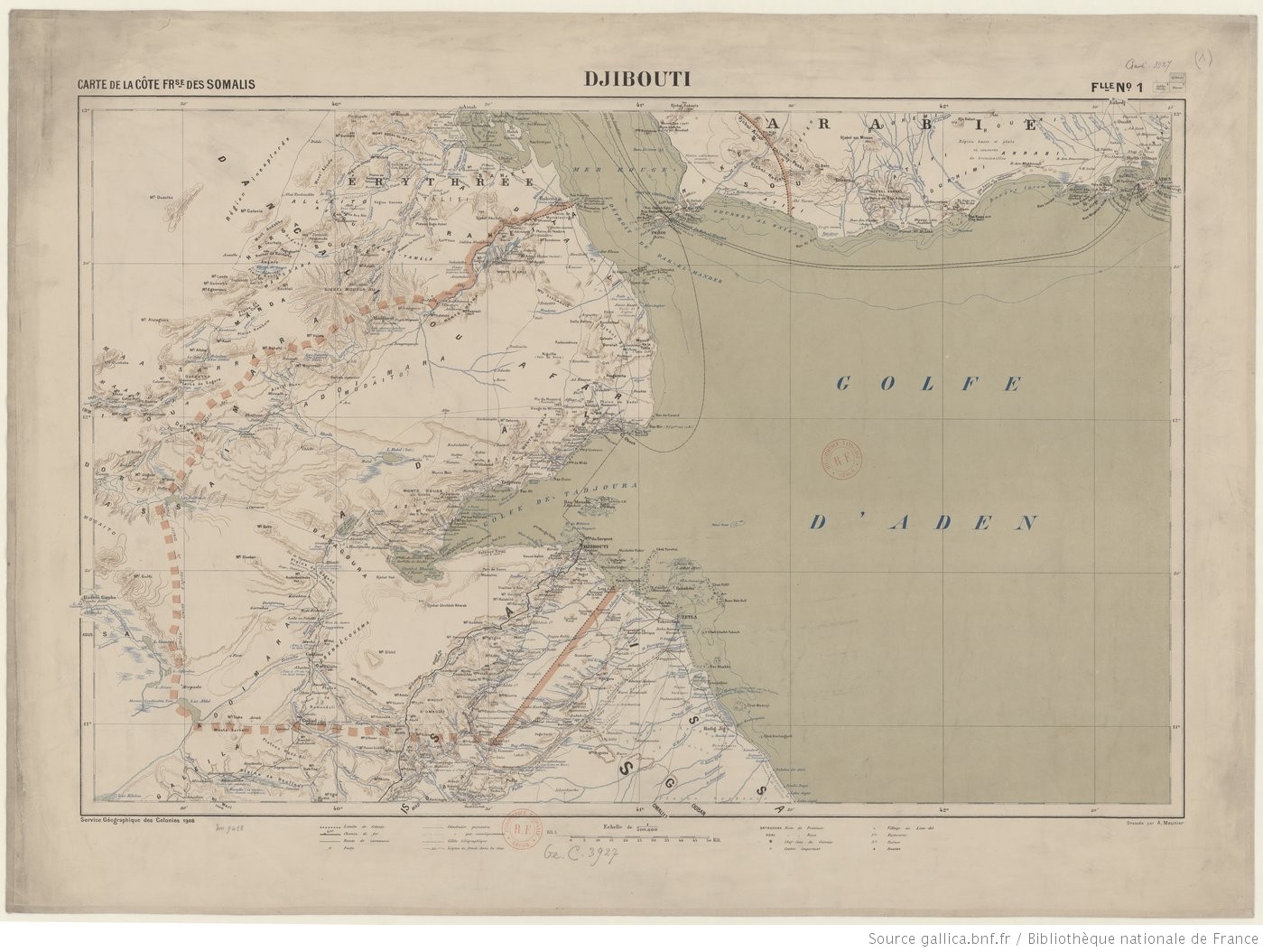
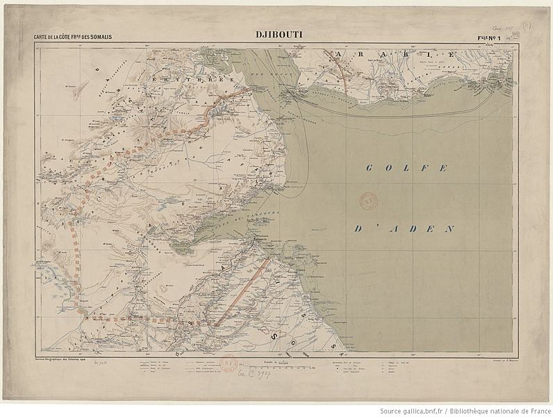
Image: Carte de la côte française (...)Meunier Alexandre btv1b53062311r 1
Size of this preview: 796 × 600 pixels. Other resolutions: 319 × 240 pixels | 1,399 × 1,054 pixels.
Original image (1,399 × 1,054 pixels, file size: 300 KB, MIME type: image/jpeg)
Description: Map of the French Somali Coast and neighboring regions
Title: Carte de la côte française (...)Meunier Alexandre btv1b53062311r 1
Credit: https://gallica.bnf.fr/ark:/12148/btv1b53062311r/f1.item.zoom#
Author: Alexandre Meunier
Usage Terms: Public domain
License: Public domain
Attribution Required?: No
Image usage
The following page links to this image:

All content from Kiddle encyclopedia articles (including the article images and facts) can be freely used under Attribution-ShareAlike license, unless stated otherwise.
Meunier_Alexandre_btv1b53062311r_1.jpg)