
Image: CharlestownSC1780
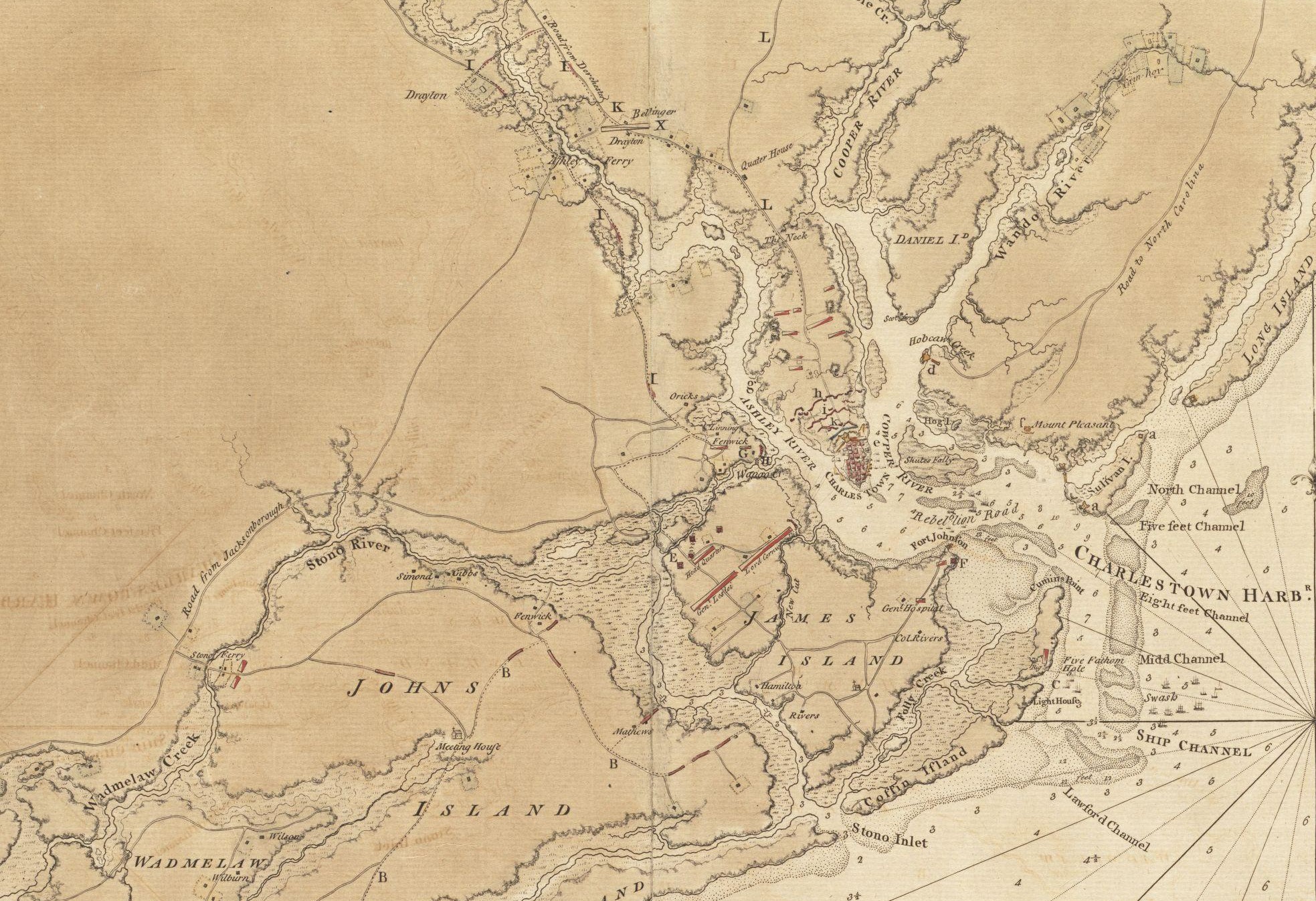
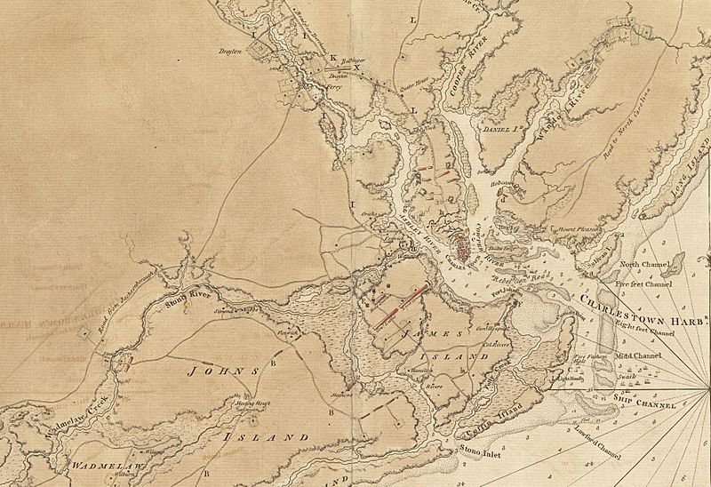
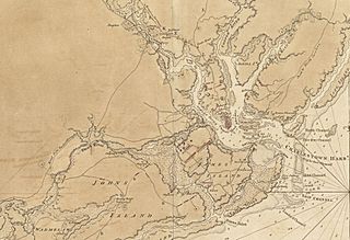
Description: This is a detail of the source map, showing the port of Charleston, South Carolina and the coastline to the south as far as Johns Island. It has markings depicting Continental Army defenses set up in anticipation of British attack. The map was probably drawn by British engineers around the time of the 1780 Siege of Charleston.
Title: CharlestownSC1780
Credit: From the Boston Public Library Digital Map Collection: http://maps.bpl.org/details_11098/ Call number: G3914.C3 1780 .S67
Author: George Sproule
Permission: This media file is in the public domain in the United States. This applies to U.S. works where the copyright has expired, often because its first publication occurred prior to January 1, 1923. See this page for further explanation. This image might not be in the public domain outside of the United States; this especially applies in the countries and areas that do not apply the rule of the shorter term for US works, such as Canada, Mainland China (not Hong Kong or Macao), Germany, Mexico, and Switzerland. The creator and year of publication are essential information and must be provided. See Wikipedia:Public domain and Wikipedia:Copyrights for more details.
Usage Terms: Public domain
License: Public domain
Attribution Required?: No
Image usage
The following 4 pages link to this image:
