
Image: ChathamDarland3029
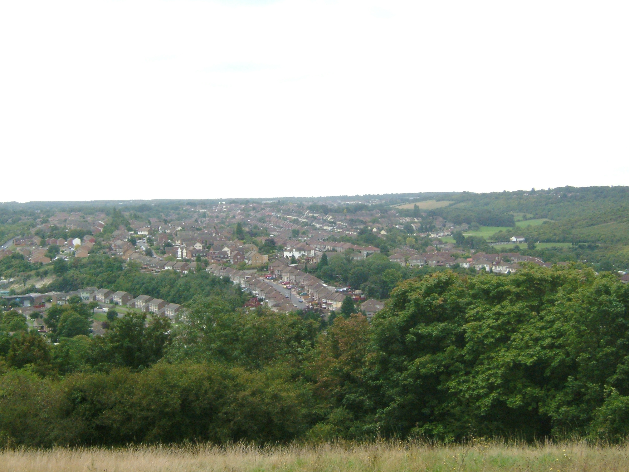
Description: The Darland Banks are unimproved chalk grassland, in Chatham, Kent. Bordering on Gillingham they form the northern slopes of the Luton and Capstone Valleys This shot was taken from the top of Ash Tree Lane by Star Mill Lane. Star Mill or Upper Chatham Hill Mill was dismantled in 1924. We are looking over Luton Village. Rows of victorian terraced houses follow the contour lines. We can see all syles of 20th century housing. To the right are the fields of the Daisy Banks and Coney banks with Fort Luton in the trees. Camera location 51° 22′ 14.52″ N, 0° 33′ 10.08″ E View this and other nearby images on: OpenStreetMap - Google Earth 51.370700; 0.552800
Title: ChathamDarland3029
Credit: Own work
Author: Clem Rutter, Rochester Kent
Permission: Own work, attribution required (Multi-license with GFDL and Creative Commons CC-BY 2.5)
Usage Terms: Creative Commons Attribution 2.5
License: CC BY 2.5
License Link: http://creativecommons.org/licenses/by/2.5
Attribution Required?: Yes
Image usage
The following page links to this image:
