
Image: ChathamMedway2644
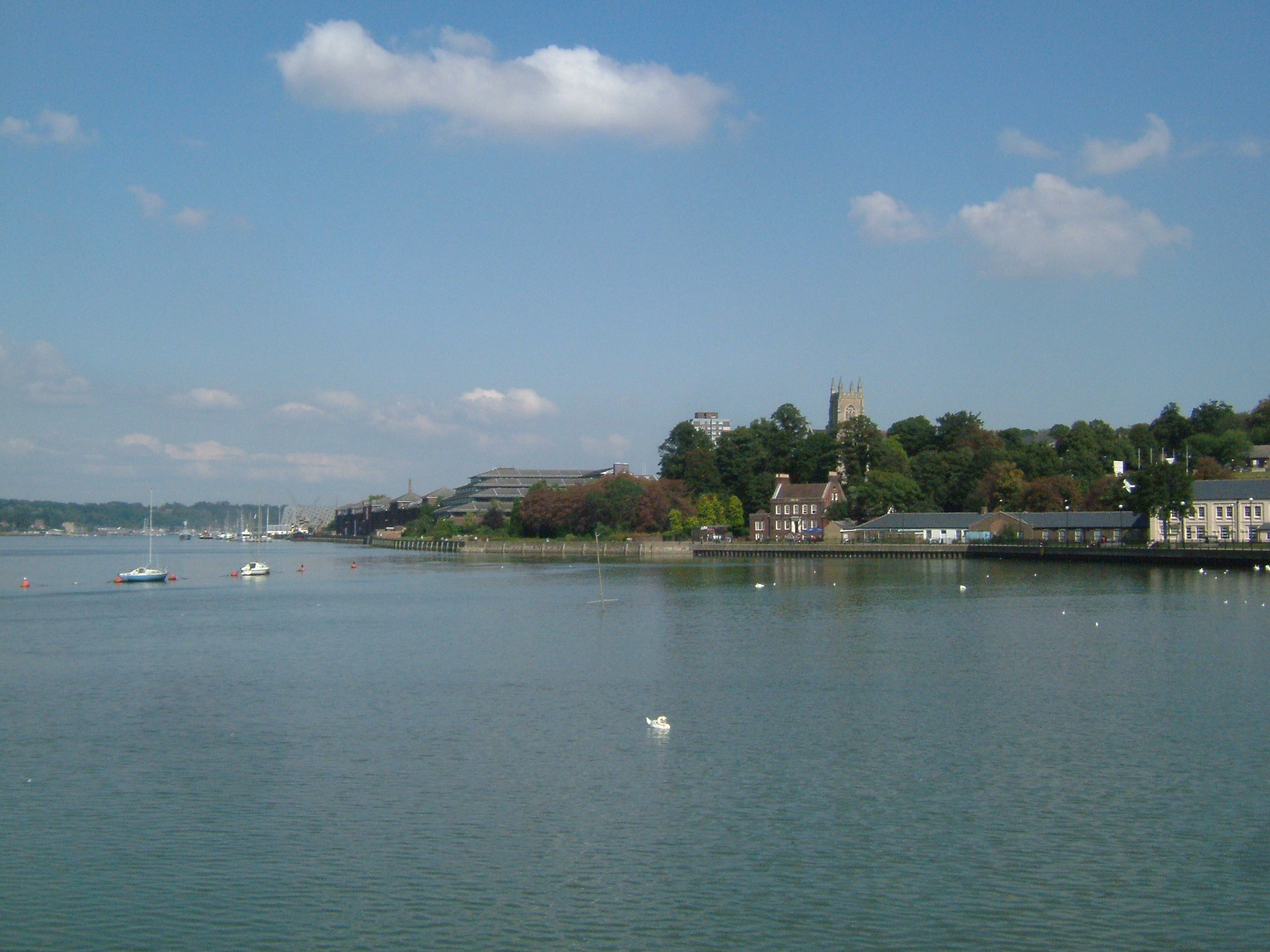
Description: Chatham lies on the outside arc of the tidal River Medway. Upstream is Rochester and downstream is Chatham Dockyard. Looking downstream, we see the coverslips, Anchor Wharf storehouses, then Gun Wharf with Lloyds Building- HQ of Medway Council, the high rise flats at Melville Court, the Command House pub, with St Mary's Church above, and Chatham Library with Fort Amherst above. On the far bank is Upnor Castle. Camera location 51° 23′ 06″ N, 0° 31′ 12.72″ E View this and other nearby images on: OpenStreetMap - Google Earth 51.385000; 0.520200
Title: ChathamMedway2644
Credit: Own work
Author: Clem Rutter, Rochester Kent
Permission: Own work, attribution required (Multi-license with GFDL and Creative Commons CC-BY 2.5)
Usage Terms: Creative Commons Attribution 2.5
License: CC BY 2.5
License Link: http://creativecommons.org/licenses/by/2.5
Attribution Required?: Yes
Image usage
The following page links to this image:
