
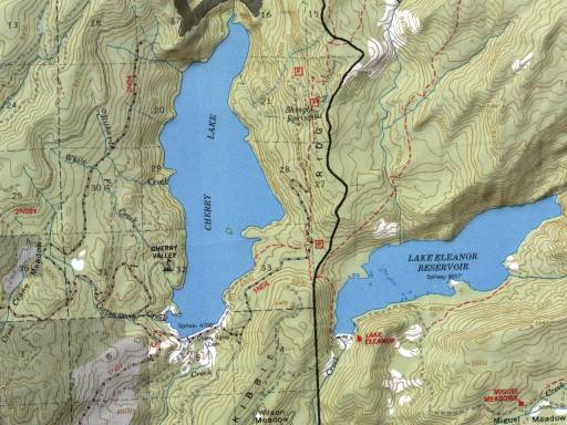
Image: Cherry Lake Stanislaus National Forest USGS TOPO Map
No higher resolution available.
Cherry_Lake_Stanislaus_National_Forest_USGS_TOPO_Map.jpg (512 × 384 pixels, file size: 45 KB, MIME type: image/jpeg)
Description: USGS Topo map: w:Cherry Lake (California), w:Stanislaus National Forest
Title: Cherry Lake Stanislaus National Forest USGS TOPO Map
Credit: http://www.fs.fed.us/r5/stanislaus/images/maps/cherryarea.jpg
Author: U.S. National Park Service
Permission: Public Domain
Usage Terms: Public domain
License: Public domain
Attribution Required?: No
Image usage
The following page links to this image:

All content from Kiddle encyclopedia articles (including the article images and facts) can be freely used under Attribution-ShareAlike license, unless stated otherwise.