
Image: Cheshire UK location map

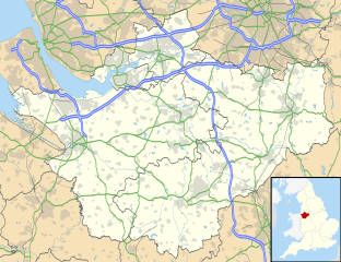
Description: Map of Cheshire, UK with the following information shown: Administrative borders Coastline, lakes and rivers Roads and railways Urban areas Equirectangular map projection on WGS 84 datum, with N/S stretched 165% Geographic limits: West: 3.15W East: 1.95W North: 53.50N South: 52.94N
Title: Cheshire UK location map
Credit: Ordnance Survey OpenData. Administrative borders and coastline data from Boundary-Line product. All other geographic data from Meridian 2 product. Inset derived from England location map.svg by Spischot.
Author: Nilfanion, created using Ordnance Survey data
Permission: This file is licensed under the Creative Commons Attribution-Share Alike 3.0 Unported license. Attribution: Contains Ordnance Survey data © Crown copyright and database right You are free: to share – to copy, distribute and transmit the work to remix – to adapt the work Under the following conditions: attribution – You must give appropriate credit, provide a link to the license, and indicate if changes were made. You may do so in any reasonable manner, but not in any way that suggests the licensor endorses you or your use. share alike – If you remix, transform, or build upon the material, you must distribute your contributions under the same or compatible license as the original. https://creativecommons.org/licenses/by-sa/3.0 CC BY-SA 3.0 Creative Commons Attribution-Share Alike 3.0 truetrue
Usage Terms: Creative Commons Attribution-Share Alike 3.0
License: CC BY-SA 3.0
License Link: https://creativecommons.org/licenses/by-sa/3.0
Attribution Required?: Yes
Image usage
The following 44 pages link to this image:
- Alderley Edge
- Aldford Castle
- All Saints' Church, Runcorn
- Alsager
- Armoury Towers, Macclesfield
- Bath Street drill hall, Warrington
- Beeston Castle
- Birchwood
- Bollington
- Bridge Street drill hall, Macclesfield
- Chester
- Combermere Abbey
- Congleton
- Crewe
- Curzon Park Abbey
- Ellesmere Port
- Fountains Wood
- Frodsham
- Gaddum's Wood
- Kingsley Castle
- Knutsford
- Macclesfield
- Marbury, Cheshire
- Mersey Gateway Bridge
- Middlewich
- Nantwich
- Neston
- Northwich
- Poynton
- Pulford Castle
- RAF Burtonwood
- RAF Hooton Park
- Runcorn
- Sandbach
- St John the Baptist's Church, Aldford
- St Luke's Church, Holmes Chapel
- St Mary's Church, Nantwich
- St Paul's Church, Over Tabley
- Vale Royal Abbey
- Volunteer Street drill hall, Chester
- Widnes
- Wilmslow
- Winsford
- Wybunbury Moss
