
Image: Chichester canalmap1815
Size of this preview: 616 × 599 pixels. Other resolutions: 247 × 240 pixels | 4,970 × 4,834 pixels.
Original image (4,970 × 4,834 pixels, file size: 2.76 MB, MIME type: image/jpeg)
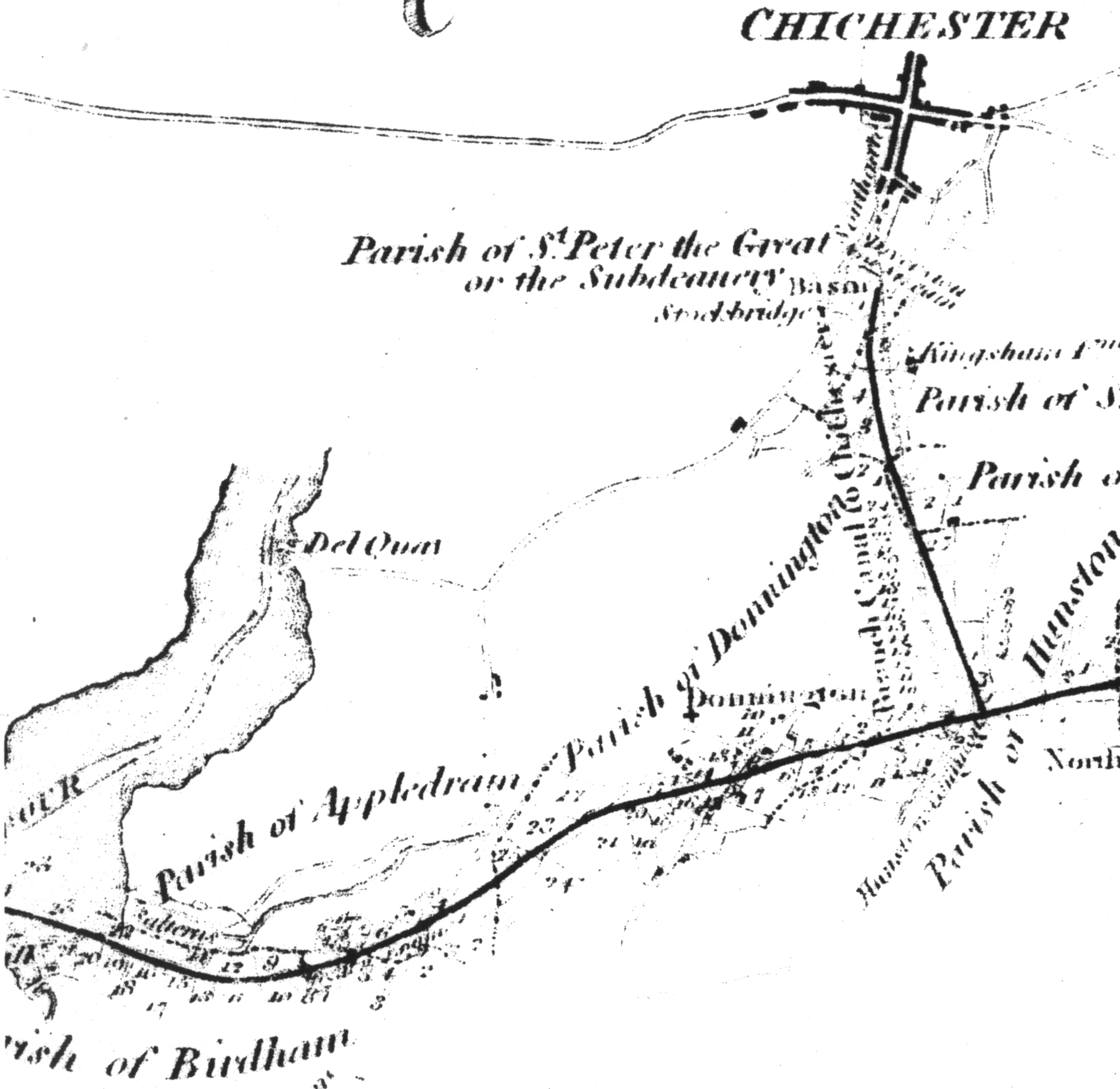
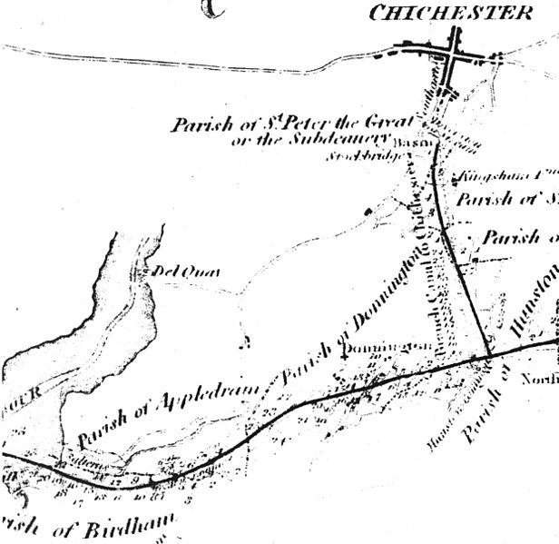
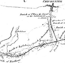
Description: Map of the rout of the chichester canal from the original 1815 plan (when the canal was then part of the portsmouth and arundel)
Title: Chichester canalmap1815
Credit: 1815 map
Author: Netlam & Francis Giles (although the shape of the cost line and such is probably taken from other older maps)
Permission: PD due to age.
Usage Terms: Public domain
License: Public domain
Attribution Required?: No
Image usage
The following page links to this image:

All content from Kiddle encyclopedia articles (including the article images and facts) can be freely used under Attribution-ShareAlike license, unless stated otherwise.