Image: Chorleywood, Old Shire Lane - geograph.org.uk - 566497
Chorleywood,_Old_Shire_Lane_-_geograph.org.uk_-_566497.jpg (640 × 480 pixels, file size: 138 KB, MIME type: image/jpeg)
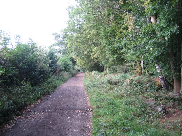
Description: Chorleywood: Old Shire Lane The county boundary between Hertfordshire to the left and Buckinghamshire to the right runs down the lane. The area of trees on the Buckinghamshire side is Philipshill Wood, which contains regimented straight lines of beech. These were, and may still be, used for the furniture industry in nearby High Wycombe.
Title: Chorleywood, Old Shire Lane - geograph.org.uk - 566497
Credit: From geograph.org.uk
Author: Nigel Cox
Usage Terms: Creative Commons Attribution-Share Alike 2.0
License: CC BY-SA 2.0
License Link: https://creativecommons.org/licenses/by-sa/2.0
Attribution Required?: Yes
Image usage
The following page links to this image:

All content from Kiddle encyclopedia articles (including the article images and facts) can be freely used under Attribution-ShareAlike license, unless stated otherwise.

