
Image: Clay Building (Oakland, CA)

Size of this preview: 800 × 466 pixels. Other resolutions: 320 × 187 pixels | 1,597 × 931 pixels.
Original image (1,597 × 931 pixels, file size: 505 KB, MIME type: image/jpeg)
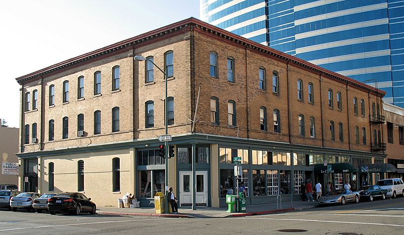
Description: w:National Register of Historic Places listings in Alameda County, California. Clay Building, 1001-1007 Clay St, Oakland, CA. Photographed from the southeast corner of Clay and 10th Sts. Camera location 37° 48′ 08.49″ N, 122° 16′ 30.91″ W View this and other nearby images on: OpenStreetMap - Google Earth 37.802358; -122.275253
Title: Clay Building (Oakland, CA)
Credit: Own work
Author: Sanfranman59
Permission: Own work, copyleft: Multi-license with GFDL and Creative Commons CC-BY-SA-2.5 and older versions (2.0 and 1.0)
Usage Terms: Creative Commons Attribution-Share Alike 3.0
License: CC BY-SA 3.0
License Link: http://creativecommons.org/licenses/by-sa/3.0
Attribution Required?: Yes
Image usage
The following page links to this image:

All content from Kiddle encyclopedia articles (including the article images and facts) can be freely used under Attribution-ShareAlike license, unless stated otherwise.
.JPG)