
Image: Cliffe - Coalhouse - Shornmead Forts map
No higher resolution available.
Cliffe_-_Coalhouse_-_Shornmead_Forts_map.jpg (347 × 425 pixels, file size: 72 KB, MIME type: image/jpeg)
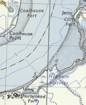
Description: Map of the area of Cliffe, Coalhouse and Shornmead Forts. Edited extract from Ordnance Survey One-inch, Seventh Series, 1952-1961
Title: Cliffe - Coalhouse - Shornmead Forts map
Credit: http://maps.nls.uk/geo/explore/#zoom=14&lat=51.4614&lon=0.4502&layers=11
Author: Ordnance Survey
Usage Terms: Public domain
License: Public domain
Attribution Required?: No
Image usage
The following 3 pages link to this image:

All content from Kiddle encyclopedia articles (including the article images and facts) can be freely used under Attribution-ShareAlike license, unless stated otherwise.