
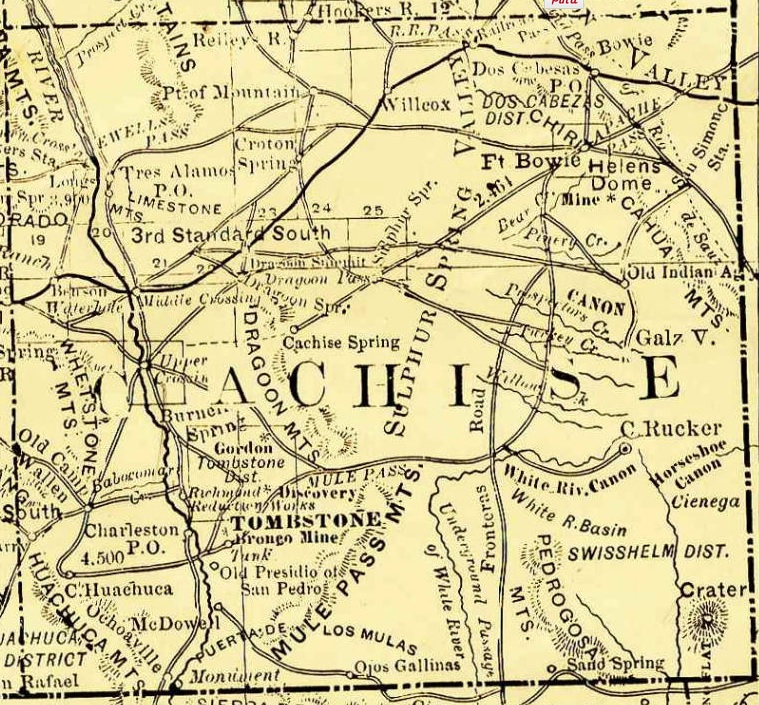
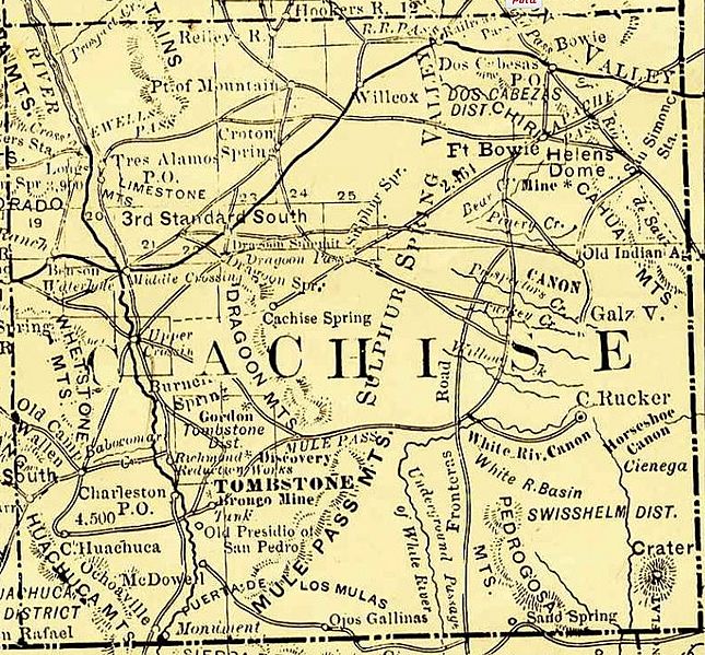
Image: Cochise County 1881
Size of this preview: 645 × 599 pixels. Other resolutions: 258 × 240 pixels | 759 × 705 pixels.
Original image (759 × 705 pixels, file size: 318 KB, MIME type: image/jpeg)
Description: Arizona, 1881, map showing roads, railroads, towns, mines, mountains and rivers. Enlarged and cropped Cochise County portion of map.
Title: Cochise County 1881
Credit: http://azmemory.azlibrary.gov/cdm/singleitem/collection/shmmaps/id/126
Author: Rand, McNally and Company
Usage Terms: Public domain
License: Public domain
Attribution Required?: No
Image usage
The following 3 pages link to this image:

All content from Kiddle encyclopedia articles (including the article images and facts) can be freely used under Attribution-ShareAlike license, unless stated otherwise.