
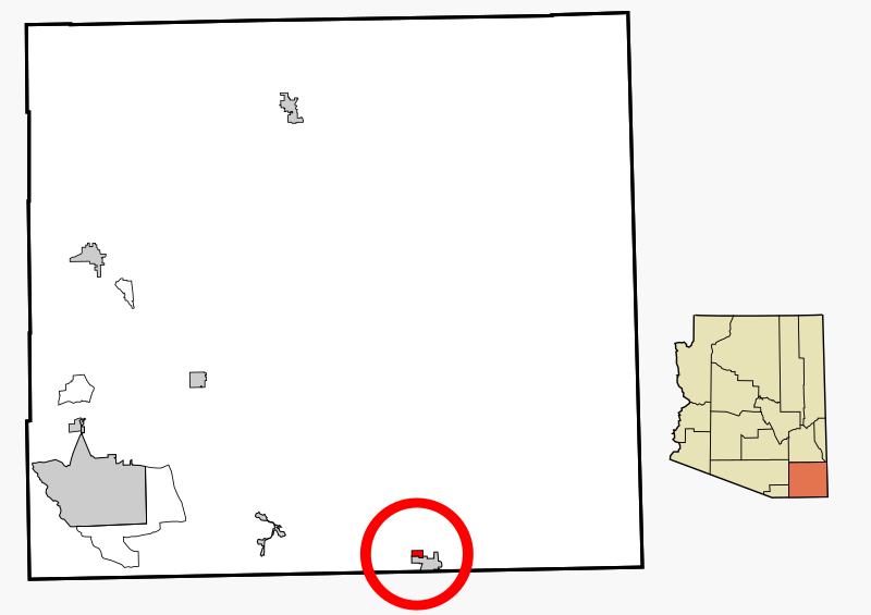
Image: Cochise County Incorporated and Unincorporated areas Pirtleville highlighted

Description: This map shows the incorporated areas and unincorporated areas in Cochise County, Arizona. Pirtleville is highlighted in red. Incorporated cities are shown in gray and unincorporated communities or CDPs are shown in white. Data for the borders and locations are based on files from the SouthEastern Arizona Governments Organization HPMS Maps and Records and maps from the US Census Bureau TIGER Map Server. I created this map in Inkscape.
Title: Cochise County Incorporated and Unincorporated areas Pirtleville highlighted
Credit: My own work, based on public domain information
Author: Ixnayonthetimmay
Permission: Copyleft-type licensing. See below.
Usage Terms: Public domain
License: Public domain
Attribution Required?: No
Image usage
The following page links to this image:
