
Image: Cocos (Keeling) Islands-CIA WFB Map
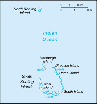
Description: A map of Cocos (Keeling) Islands.
Title: Cocos (Keeling) Islands-CIA WFB Map
Credit: https://www.cia.gov/library/publications/the-world-factbook/maps/ck-map.gif
Author: CIA World Factbook
Permission: This image is in the public domain because it contains materials that originally came from the United States Central Intelligence Agency's World Factbook. Беларуская (тарашкевіца) | বাংলা | Čeština | Deutsch | Zazaki | English | Esperanto | Español | Eesti | Suomi | Français | Hrvatski | Italiano | 日本語 | ქართული | 한국어 | Македонски | മലയാളം | Nederlands | Norsk nynorsk | Polski | Português | Русский | Sicilianu | Slovenščina | Српски / srpski | தமிழ் | Türkçe | Українська | 中文 | 中文(简体) | 中文(繁體) | +/−
Usage Terms: Public domain
License: Public domain
Attribution Required?: No
Image usage
The following 4 pages link to this image:

_Islands-CIA_WFB_Map.png)