
Image: Coloradorivermapnew1
Size of this preview: 462 × 599 pixels. Other resolutions: 185 × 240 pixels | 871 × 1,130 pixels.
Original image (871 × 1,130 pixels, file size: 701 KB, MIME type: image/jpeg)
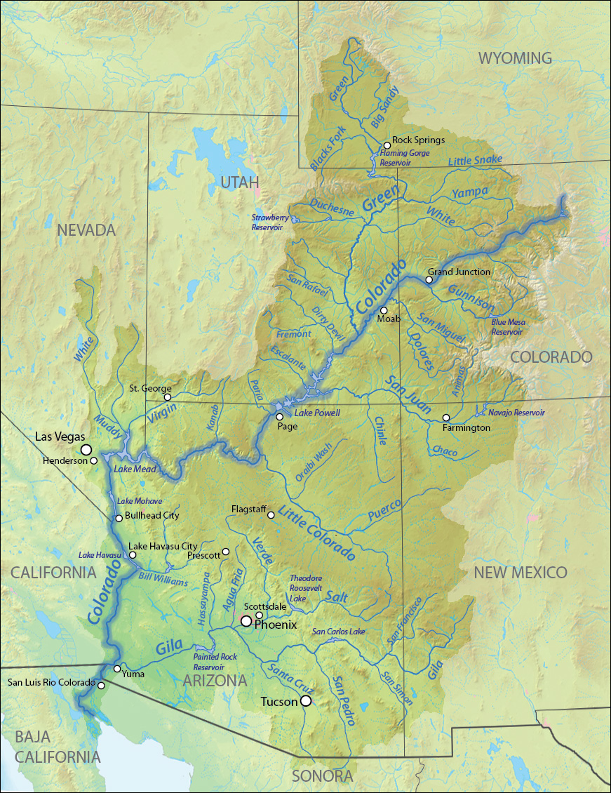
Description: New map of the Colorado River watershed. Endorheic basin in Wyoming fixed, cities added, highlight added, terrain improved.
Title: Coloradorivermapnew1
Credit: Background and river course data from DEMIS Mapserver and The National Map, both public domain
Author: Shannon
Usage Terms: GNU Free Documentation License
License: GFDL
License Link: http://www.gnu.org/copyleft/fdl.html
Attribution Required?: Yes
Image usage
The following image is a duplicate of this image (more details):
There are no pages that link to this image.

All content from Kiddle encyclopedia articles (including the article images and facts) can be freely used under Attribution-ShareAlike license, unless stated otherwise.