
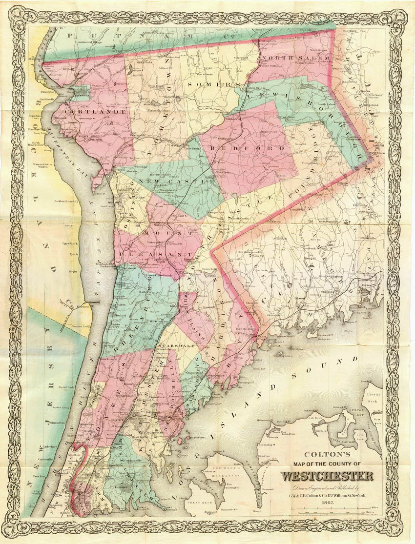
Image: Colton-westchester-map
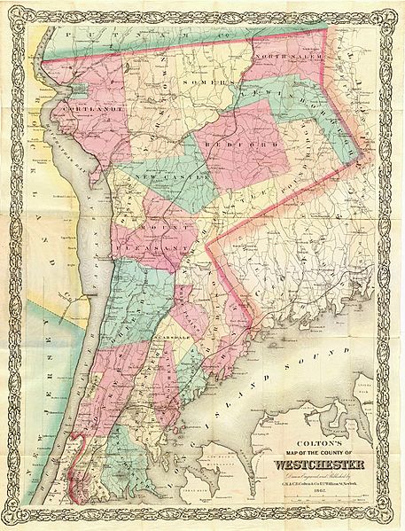
Size of this preview: 457 × 599 pixels. Other resolutions: 183 × 240 pixels | 850 × 1,115 pixels.
Original image (850 × 1,115 pixels, file size: 297 KB, MIME type: image/jpeg)
Description: Originally published by G.W. & C.B. Colton & Co., 172 William St, New York, 1867 Summary Colton's Map of the County of Westchester, from 1867
Title: Colton-westchester-map
Usage Terms: Public domain
License: Public domain
Attribution Required?: No
Image usage
The following 2 pages link to this image:

All content from Kiddle encyclopedia articles (including the article images and facts) can be freely used under Attribution-ShareAlike license, unless stated otherwise.