
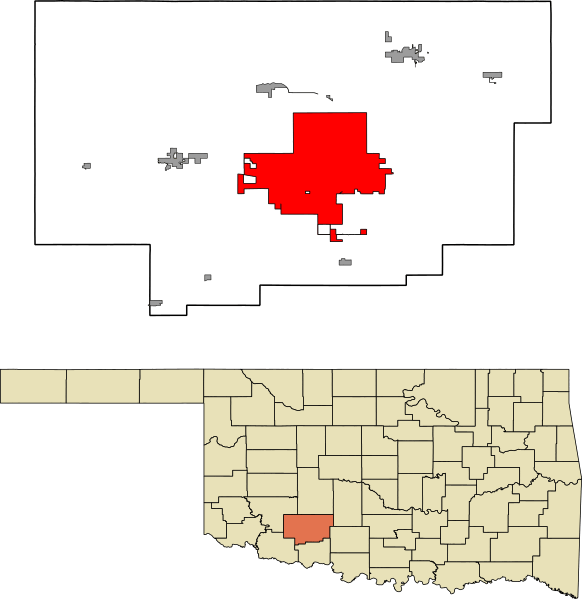
Image: Comanche County Oklahoma Incorporated areas highlighting Lawton

Size of this PNG preview of this SVG file: 582 × 599 pixels. Other resolution: 233 × 240 pixels.
Original image (SVG file, nominally 582 × 599 pixels, file size: 801 KB)
Description: A map highlighting the city of Lawton in Comanche County in the US state of Oklahoma. Data provided from geo.ou.edu Based on similar maps from Ixnayonthetimmay
Title: Comanche County Oklahoma Incorporated areas highlighting Lawton
Credit: Own work This graphic was created with QGIS This vector graphics image was created with Adobe Illustrator.
Author: Crimsonedge34
Usage Terms: Creative Commons Zero, Public Domain Dedication
License: CC0
License Link: http://creativecommons.org/publicdomain/zero/1.0/deed.en
Attribution Required?: No
Image usage
The following page links to this image:

All content from Kiddle encyclopedia articles (including the article images and facts) can be freely used under Attribution-ShareAlike license, unless stated otherwise.