
Image: Conness-topo
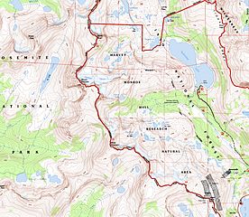
Size of this preview: 690 × 599 pixels. Other resolutions: 276 × 240 pixels | 5,984 × 5,198 pixels.
Original image (5,984 × 5,198 pixels, file size: 8.42 MB, MIME type: image/jpeg)
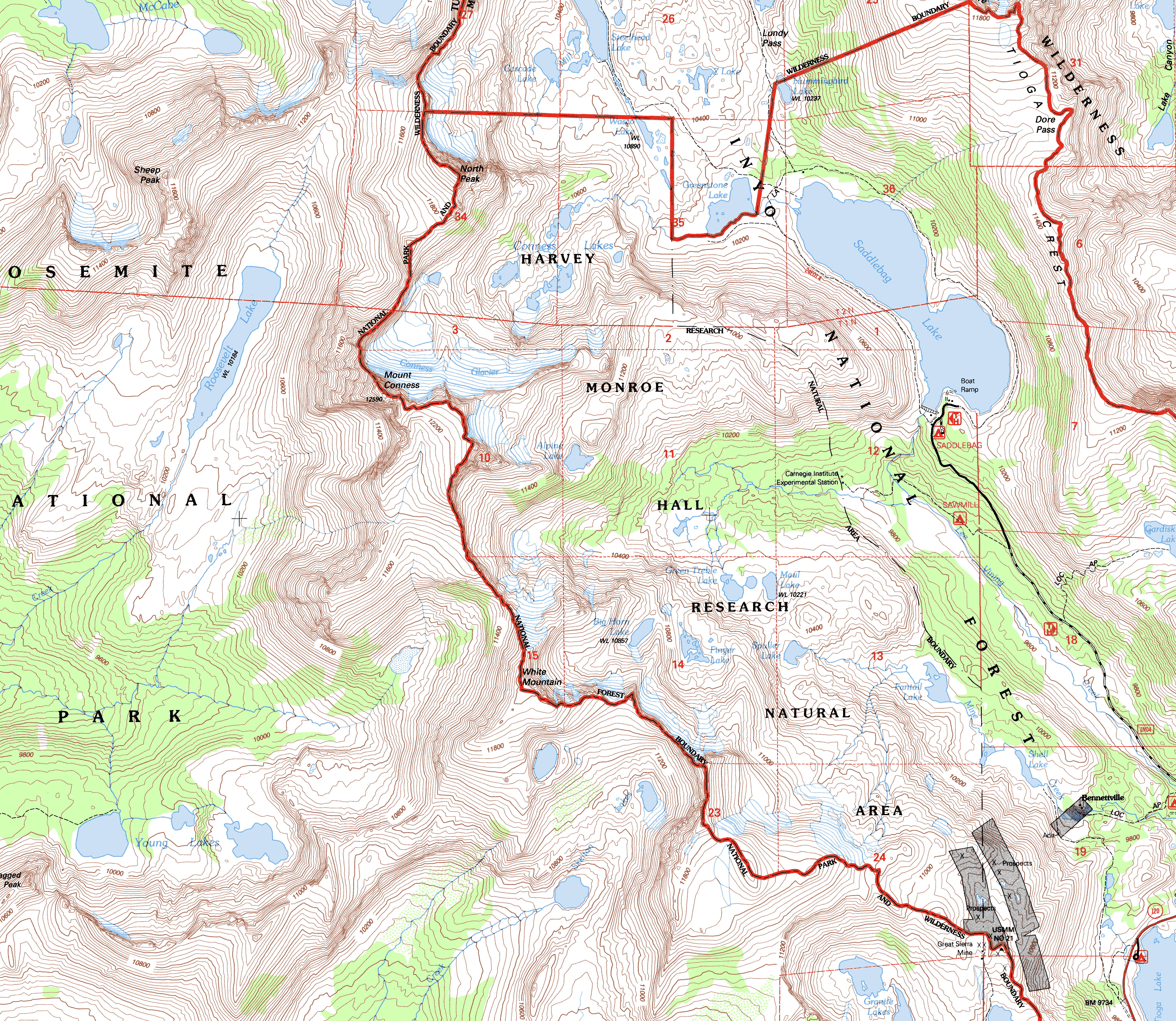
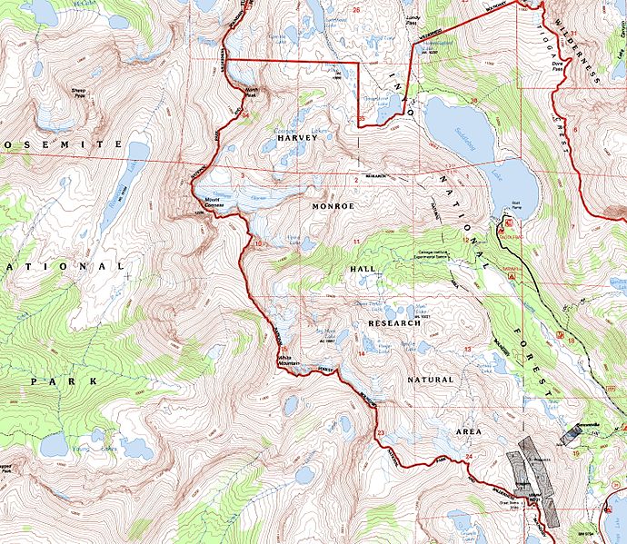
Description: Topographic map of the Mount Conness area and Hoover Wilderness Area, eastern-central Sierra Nevada, California.
Title: Conness-topo
Credit: California's archive of USGS DRG maps cropped by me
Author: USGS
Permission: This image is in the public domain in the United States because it only contains materials that originally came from the United States Geological Survey, an agency of the United States Department of the Interior. For more information, see the official USGS copyright policy.
Usage Terms: Public domain
License: Public domain
Attribution Required?: No
Image usage
The following page links to this image:

All content from Kiddle encyclopedia articles (including the article images and facts) can be freely used under Attribution-ShareAlike license, unless stated otherwise.