
Image: Copperplate map Bridewell
Size of this preview: 485 × 600 pixels. Other resolutions: 194 × 240 pixels | 760 × 940 pixels.
Original image (760 × 940 pixels, file size: 281 KB, MIME type: image/jpeg)
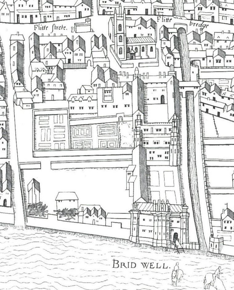
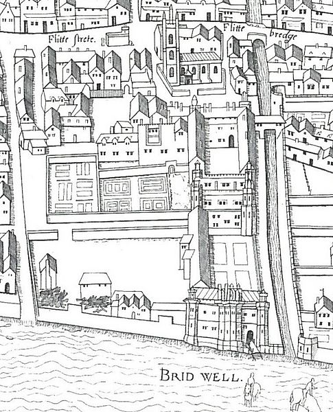
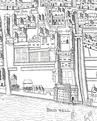
Description: Detail from the "Copperplate" map of London, surveyed 1553-9, showing the former Bridewell Palace, with its frontage on the River Thames, and extending along the bank of the River Fleet towards St Bride's Church (visible in the background).
Title: Copperplate map Bridewell
Credit: Ann Saunders and John Schofield (eds), Tudor London: a map and a view (2001)
Author: Unknown authorUnknown author
Usage Terms: Public domain
License: Public domain
Attribution Required?: No
Image usage
The following page links to this image:

All content from Kiddle encyclopedia articles (including the article images and facts) can be freely used under Attribution-ShareAlike license, unless stated otherwise.