
Image: Corsham map 1773
No higher resolution available.
Corsham_map_1773.jpg (800 × 580 pixels, file size: 154 KB, MIME type: image/jpeg)
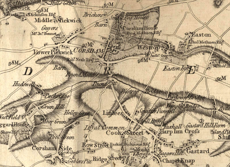
Description: Extract of Andrews’ and Dury’s Map of Wiltshire, 1773, showing Corsham
Title: Corsham map 1773
Credit: URL http://www.wiltshire.gov.uk/gallery/map/corsham_map.73.003.jpg as seen on page http://www.wiltshire.gov.uk/community/getcom.php?id=71
Author: Andrews and Dury
Permission: no explicit permission original public domain through age recent reproduction of 2D work lacks creative content
Usage Terms: Public domain
License: Public domain
Attribution Required?: No
Image usage
The following page links to this image:

All content from Kiddle encyclopedia articles (including the article images and facts) can be freely used under Attribution-ShareAlike license, unless stated otherwise.