
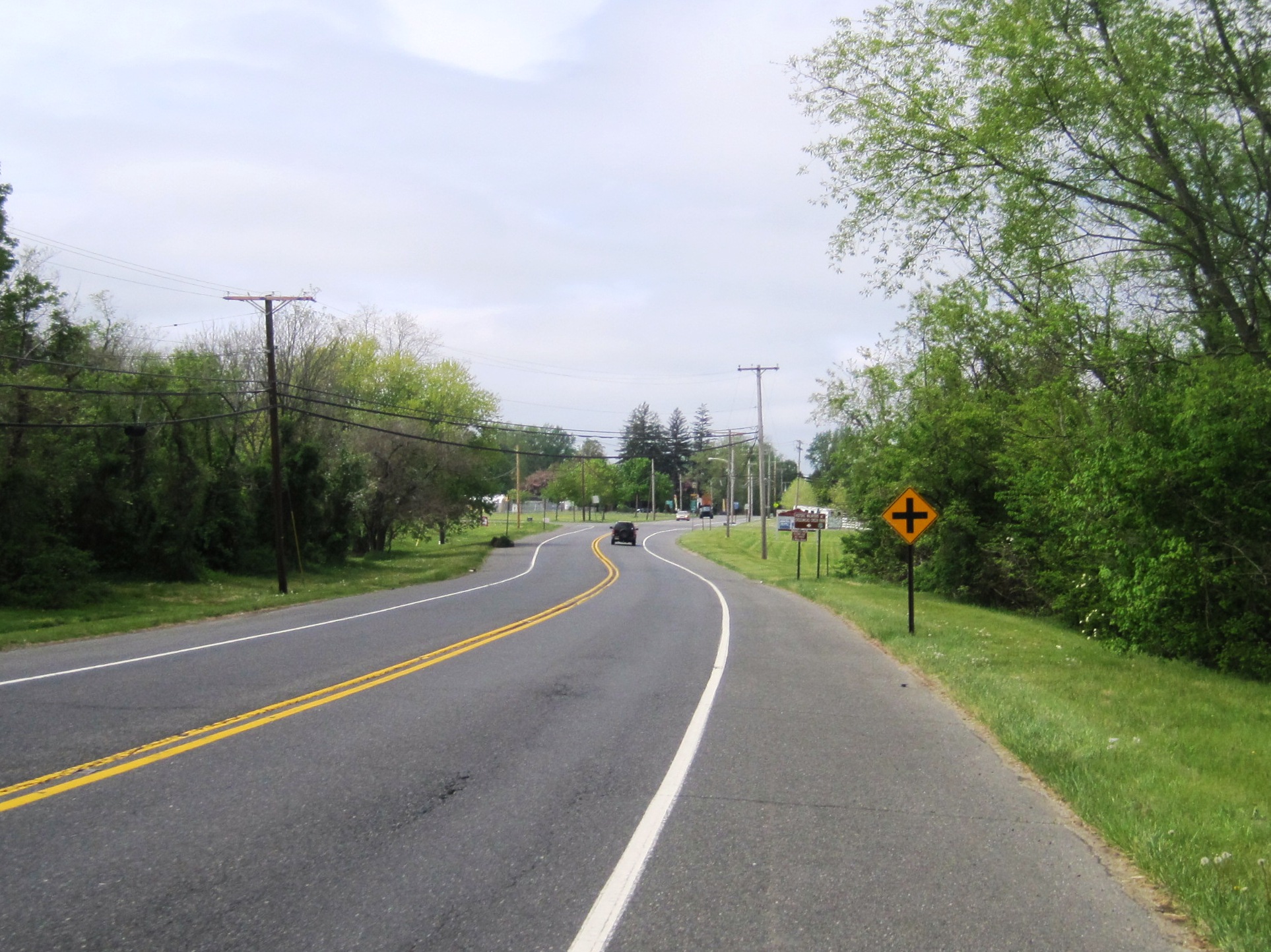
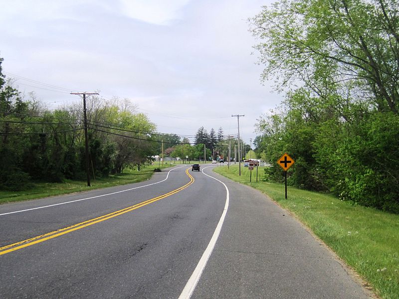
Image: Cream Ridge, NJ from CR 539 at CR 27
Size of this preview: 800 × 600 pixels. Other resolutions: 320 × 240 pixels | 1,926 × 1,444 pixels.
Original image (1,926 × 1,444 pixels, file size: 750 KB, MIME type: image/jpeg)
Description: Photo showing the center of Cream Ridge, New Jersey, an unincorporated community within Upper Freehold Township. Photo was taken along northbound County Route 539 (and formerly the temporary end of Route 37) approaching Burlington Path Road (CR 27).
Title: Cream Ridge, NJ from CR 539 at CR 27
Credit: Own work
Author: Mr. Matté (if there is an issue with this image, contact me using this image's Commons talk page or my English Wikipedia talk page; I'll know about it a lot faster)
Usage Terms: Creative Commons Attribution 3.0
License: CC BY 3.0
License Link: http://creativecommons.org/licenses/by/3.0
Attribution Required?: Yes
Image usage
The following page links to this image:

All content from Kiddle encyclopedia articles (including the article images and facts) can be freely used under Attribution-ShareAlike license, unless stated otherwise.