
Image: Crymlyn Bog - geograph.org.uk - 561341
No higher resolution available.
Crymlyn_Bog_-_geograph.org.uk_-_561341.jpg (640 × 480 pixels, file size: 203 KB, MIME type: image/jpeg)
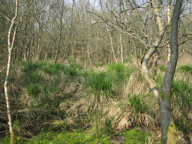
Description: Crymlyn Bog Wet woodland and tussock sedge downstream of Freeman's Bund, an old retention pond on the edge of the Crymlyn Bog Special Area of Conservation. The nearby Llandarcy oil refinery, which has dominated the east side of the Bog since 1922, is now being decommissioned, and is soon to be replaced by the Coed Darcy housing development.
Title: Crymlyn Bog - geograph.org.uk - 561341
Credit: From geograph.org.uk
Author: Kevin Gilman
Usage Terms: Creative Commons Attribution-Share Alike 2.0
License: CC BY-SA 2.0
License Link: https://creativecommons.org/licenses/by-sa/2.0
Attribution Required?: Yes
Image usage
The following page links to this image:

All content from Kiddle encyclopedia articles (including the article images and facts) can be freely used under Attribution-ShareAlike license, unless stated otherwise.