
Image: Cumberland Pass, Gunnison County, Colorado, USA 01
Size of this preview: 800 × 600 pixels. Other resolutions: 320 × 240 pixels | 2,048 × 1,536 pixels.
Original image (2,048 × 1,536 pixels, file size: 1.18 MB, MIME type: image/jpeg)
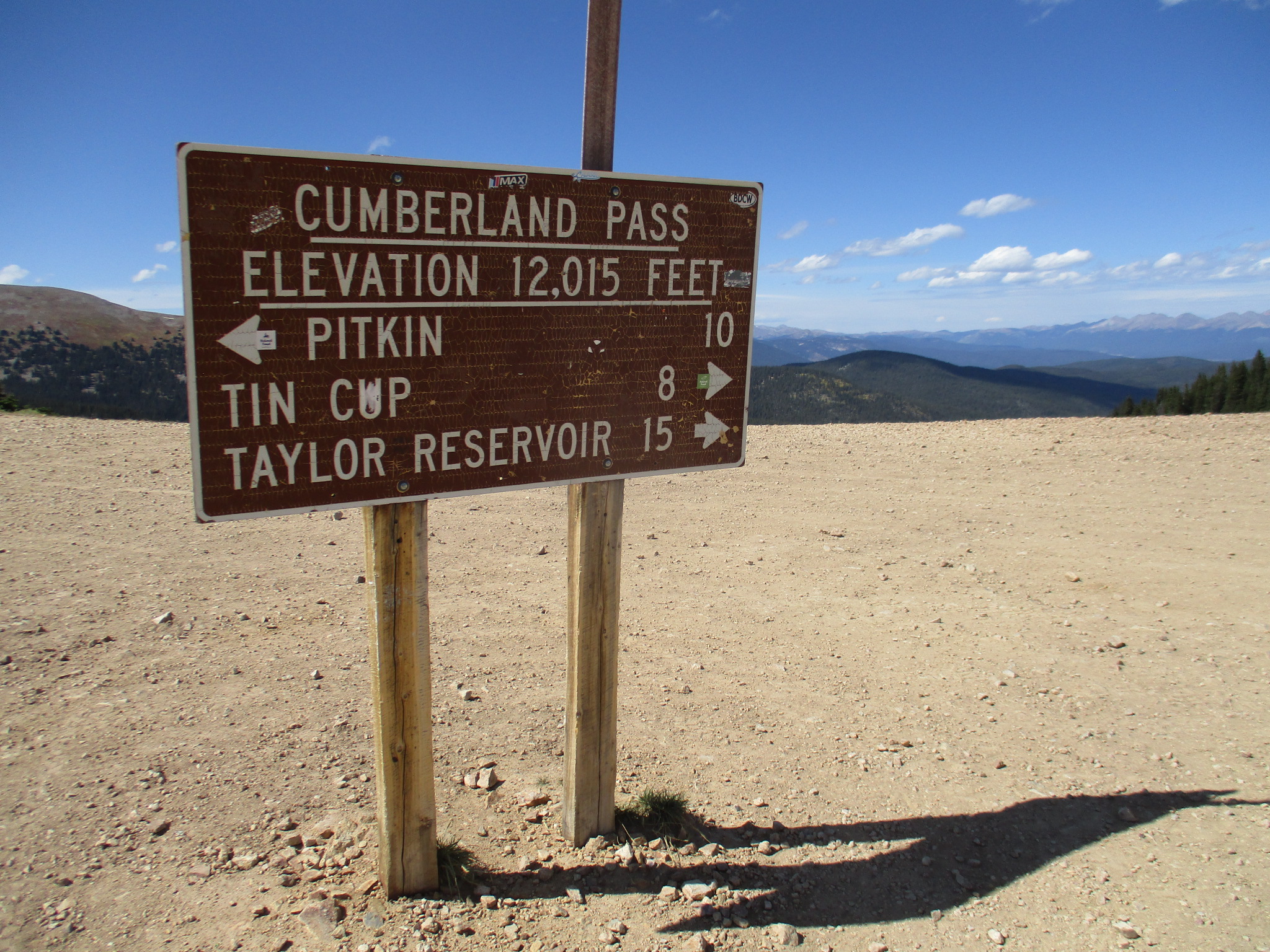
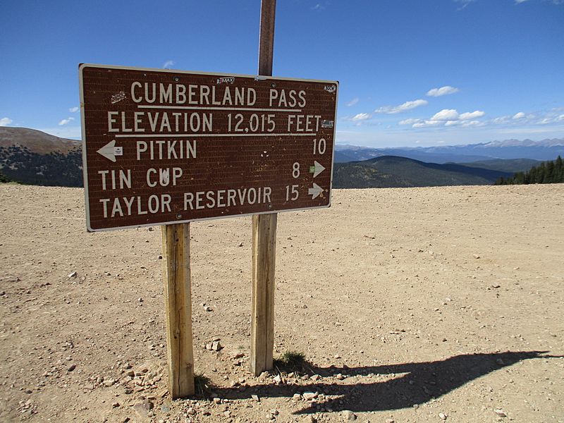
Description: Cumberland Pass, elevation 12,015 ft (3,662 m), looking north northwest. Forest Road 765 traverses the pass, connecting the towns of Tin Cup to the north and Pitkin to the south. The pass is located in Gunnison County, Colorado.
Title: Cumberland Pass, Gunnison County, Colorado, USA 01
Credit: Own work
Author: John Sowell
Usage Terms: Creative Commons Attribution-Share Alike 4.0
License: CC BY-SA 4.0
License Link: https://creativecommons.org/licenses/by-sa/4.0
Attribution Required?: Yes
Image usage
The following page links to this image:

All content from Kiddle encyclopedia articles (including the article images and facts) can be freely used under Attribution-ShareAlike license, unless stated otherwise.