
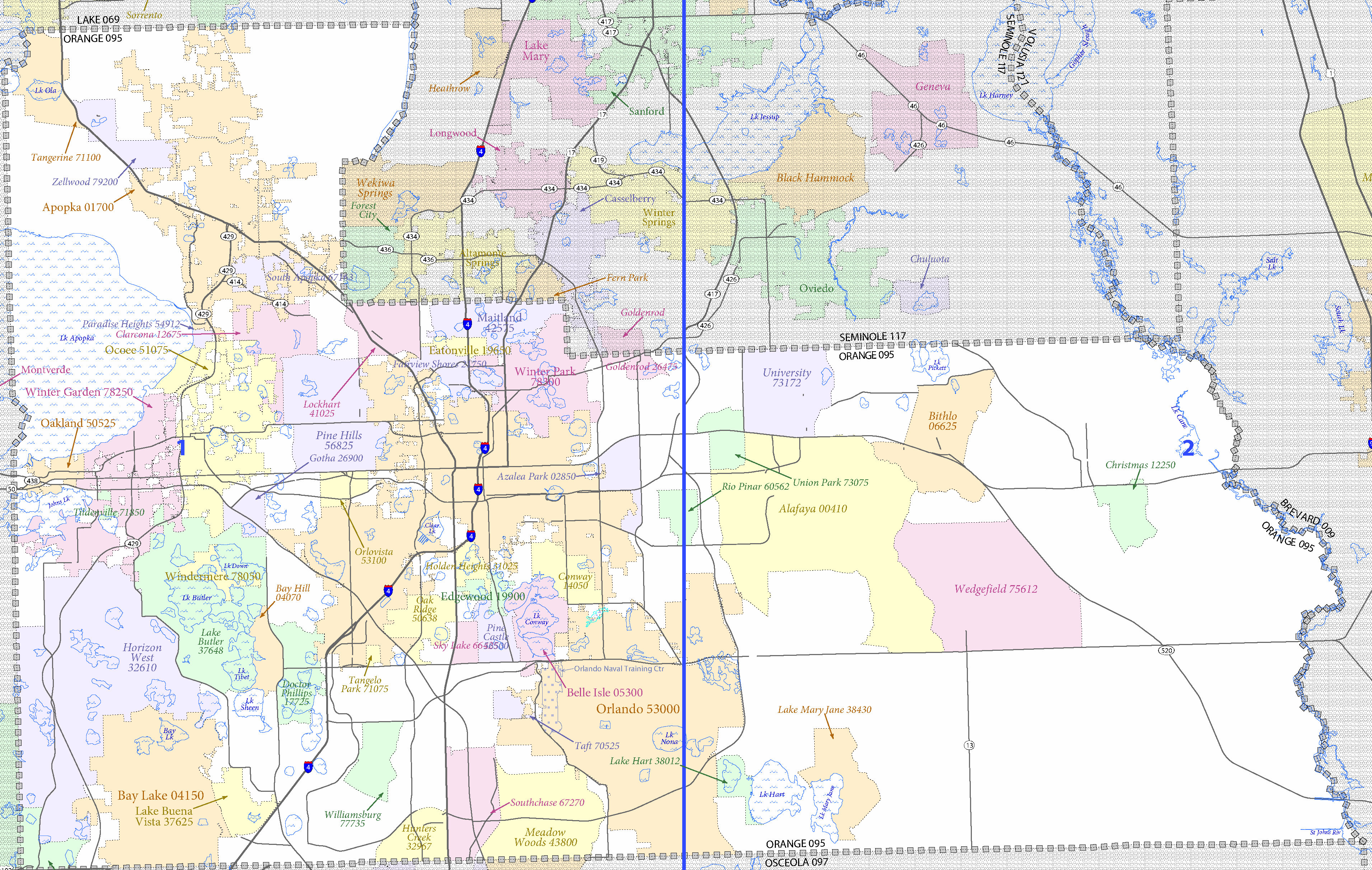
Image: DC10CT C12095 000 cropped
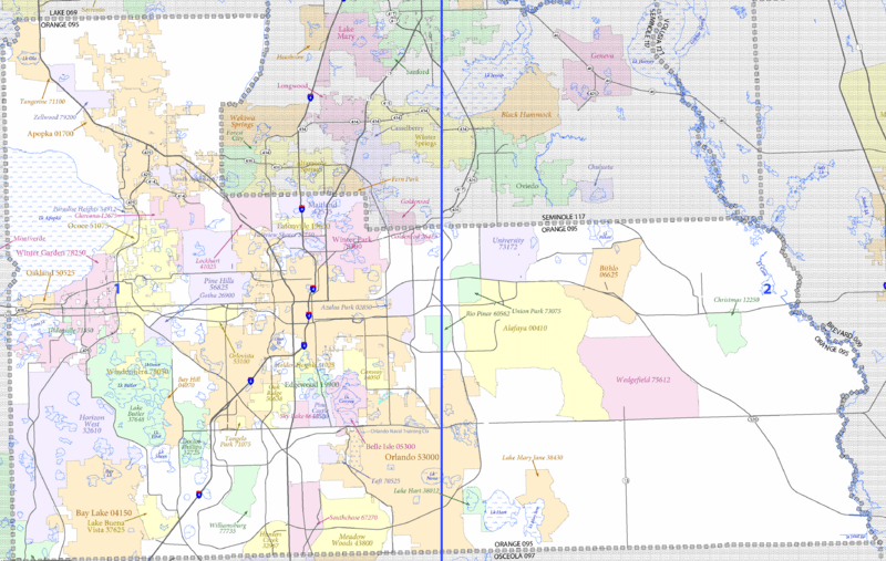
Size of this preview: 800 × 507 pixels. Other resolutions: 320 × 203 pixels | 3,823 × 2,425 pixels.
Original image (3,823 × 2,425 pixels, file size: 685 KB, MIME type: image/png)
Description: Cropped version of East Central Florida census tract map for use in w:Orange County, Florida articles.
Title: DC10CT C12095 000 cropped
Credit: http://www2.census.gov/geo/maps/dc10map/tract/st12_fl/c12095_orange/
Author: United States Census Bureau
Usage Terms: Public domain
License: Public domain
Attribution Required?: No
Image usage
The following page links to this image:

All content from Kiddle encyclopedia articles (including the article images and facts) can be freely used under Attribution-ShareAlike license, unless stated otherwise.