
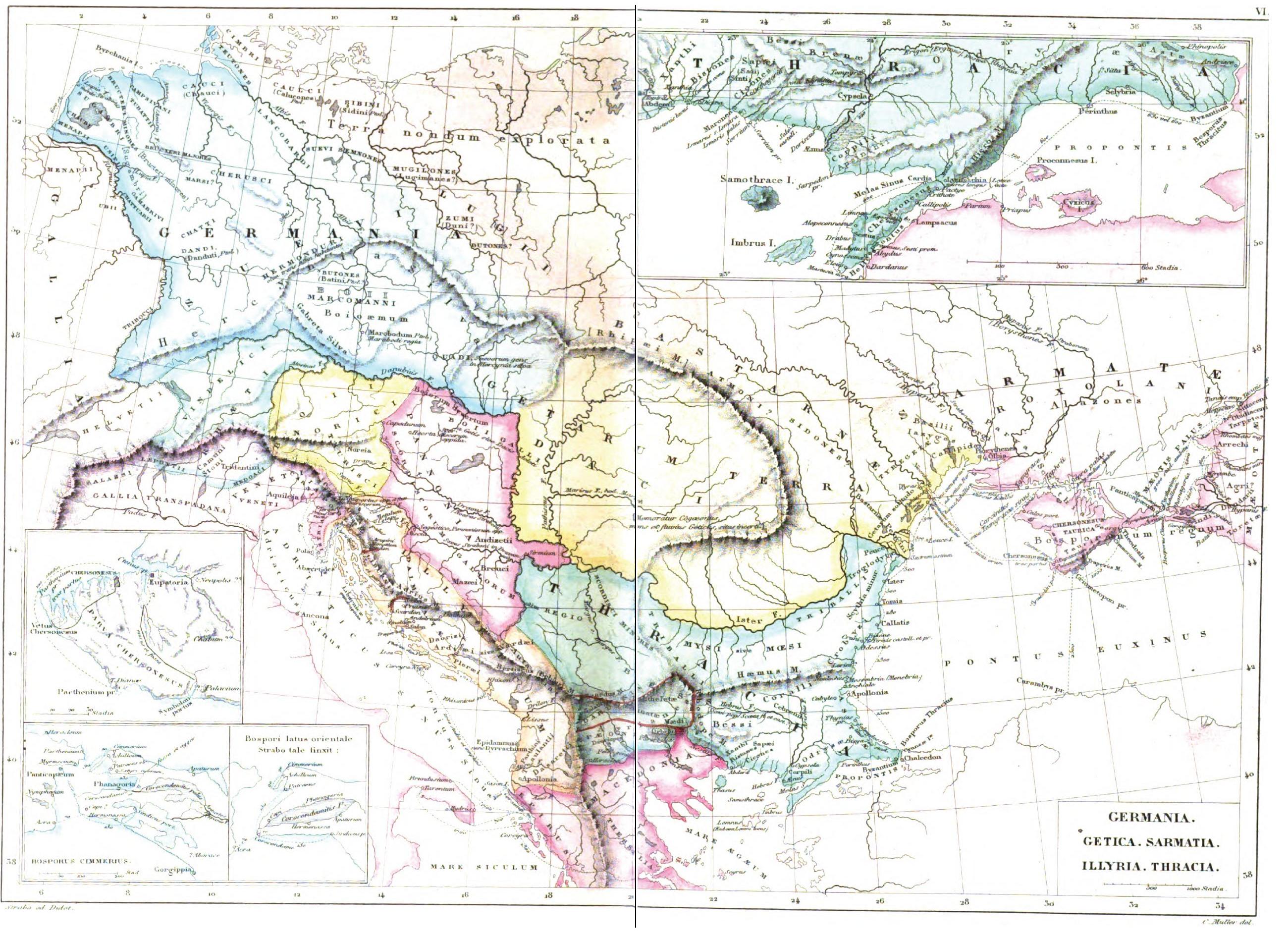
Image: Daci Terra Getarum cf Strabo
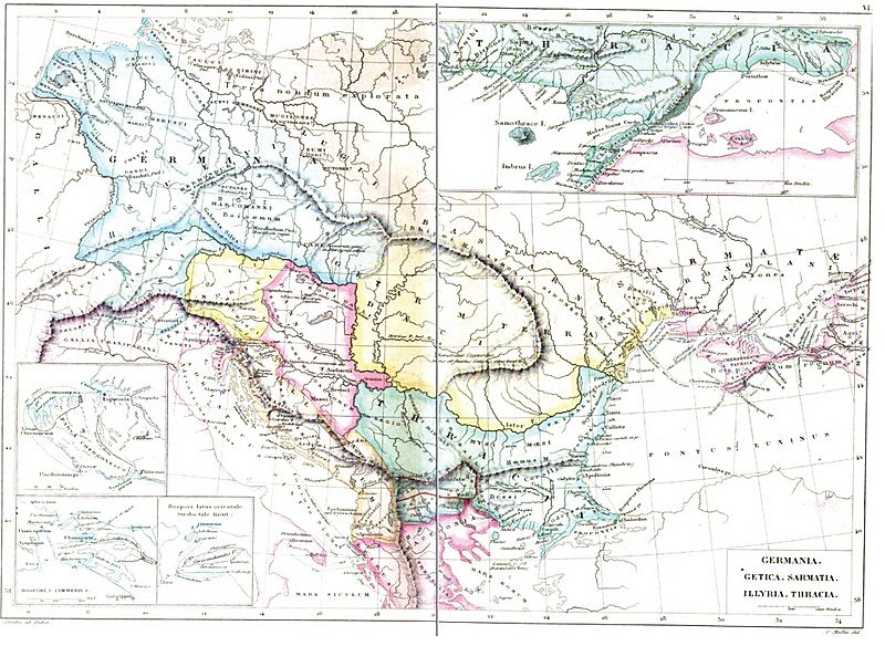
Size of this preview: 800 × 584 pixels. Other resolutions: 320 × 234 pixels | 2,600 × 1,899 pixels.
Original image (2,600 × 1,899 pixels, file size: 740 KB, MIME type: image/jpeg)
Description: Map of Central and Eastern Europe at the time of Augustus (it is possible to recognize the Regnum of Maroboduo, king of Marcomanni in 6 AD), according to Strabo (c. 18 AD). It includes Dacia/Getica (Daci, Terra Getarum), Germania, Sarmatia, Illyria, Thracia.)
Title: Central and Eastern Europe at the time of Augustus 6 AD
Credit: Strabonis Geographicorum tabulae XV 1877, pp: 1088-1089 by Strabo, Karl Wilhelm Ludwig Müller, editor Ambrosio Firmin-Didot.
Author: Karl Wilhelm Ludwig Müller (Carolus Mullerus) (1813–1894)
Usage Terms: Public domain
License: Public domain
Attribution Required?: No
Image usage
The following page links to this image:

All content from Kiddle encyclopedia articles (including the article images and facts) can be freely used under Attribution-ShareAlike license, unless stated otherwise.