
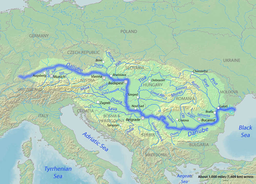
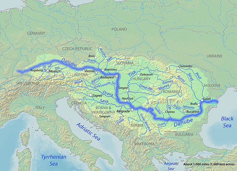
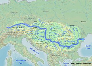
Image: Danubemap
Size of this preview: 800 × 577 pixels. Other resolutions: 320 × 231 pixels | 998 × 720 pixels.
Original image (998 × 720 pixels, file size: 389 KB, MIME type: image/jpeg)
Description: Map of the Danube, the largest river of Central Europe. Created to fill a gap in which all the other Danube maps do not fulfill.
Title: Danubemap
Credit: Background and river course data from http://www2.demis.nl/mapserver/mapper.asp
Author: Shannon
Usage Terms: GNU Free Documentation License
License: GFDL
License Link: http://www.gnu.org/copyleft/fdl.html
Attribution Required?: Yes
Image usage
The following page links to this image:

All content from Kiddle encyclopedia articles (including the article images and facts) can be freely used under Attribution-ShareAlike license, unless stated otherwise.