
Image: Dardistown Bridge, Cooper Hill, Co. Meath - geograph.org.uk - 977024
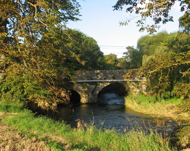
Description: Dardistown Bridge, Cooper Hill, Co. Meath Three-arched stone bridge, with buttresses, carries the old coach road from Drogheda to Dublin (via The Naul) over the River Nanny. Bridge is shown in Taylor and Skinner's 'Maps of the Roads of Ireland' published 1778 but no bridge shown on Down Survey barony map of 1654. The Nanny here is the boundary between the townlands of Calliaghstown and Dardistown.
Title: Dardistown Bridge, Cooper Hill, Co. Meath - geograph.org.uk - 977024
Credit: From geograph.org.uk
Author: Kieran Campbell
Usage Terms: Creative Commons Attribution-Share Alike 2.0
License: CC BY-SA 2.0
License Link: https://creativecommons.org/licenses/by-sa/2.0
Attribution Required?: Yes
Image usage
The following 2 pages link to this image:
