
Image: Detailed map of Wakefield-Peacedale, Rhode Island
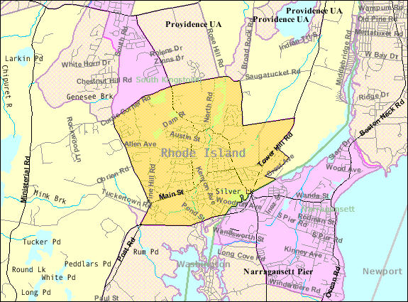
Description: Map of Wakefield-Peacedale, a census-designated place in the town of South Kingstown in Washington County, Rhode Island, United States, with its boundaries at the time of the 2000 census.
Title: Detailed map of Wakefield-Peacedale, Rhode Island
Credit: http://factfinder.census.gov/leg1/44/123071444.gif, from http://factfinder.census.gov
Author: United States Census Bureau
Permission: This image or file is a work of a United States Census Bureau employee, taken or made as part of that person's official duties. As a work of the U.S. federal government, the image is in the public domain. English | Español | മലയാളം | Русский | Українська | +/−
Usage Terms: Public domain
License: Public domain
Attribution Required?: No
Image usage
The following page links to this image:
