
Image: Disputed Border in the East
Size of this preview: 744 × 599 pixels. Other resolutions: 298 × 240 pixels | 3,813 × 3,072 pixels.
Original image (3,813 × 3,072 pixels, file size: 3.21 MB, MIME type: image/jpeg)
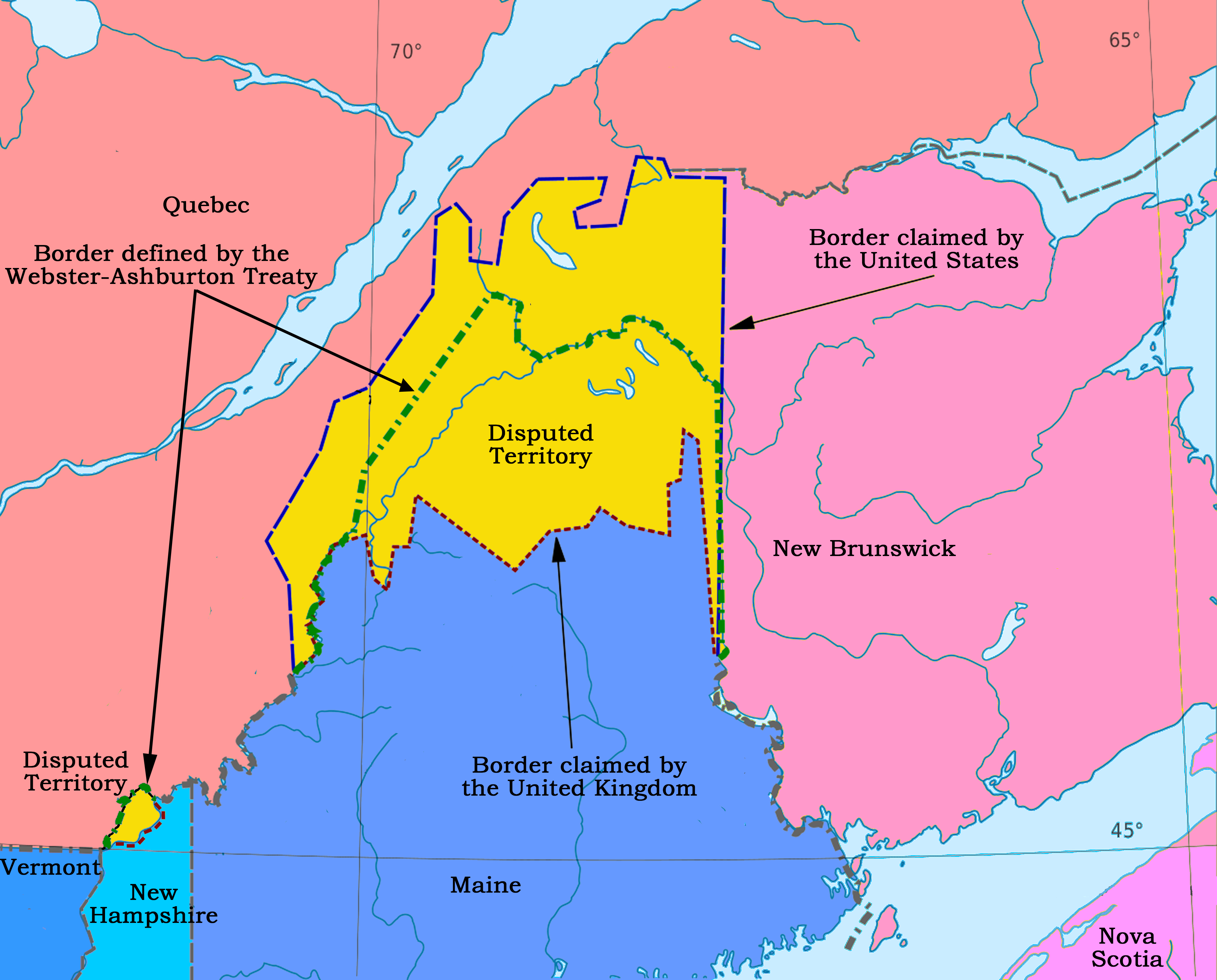
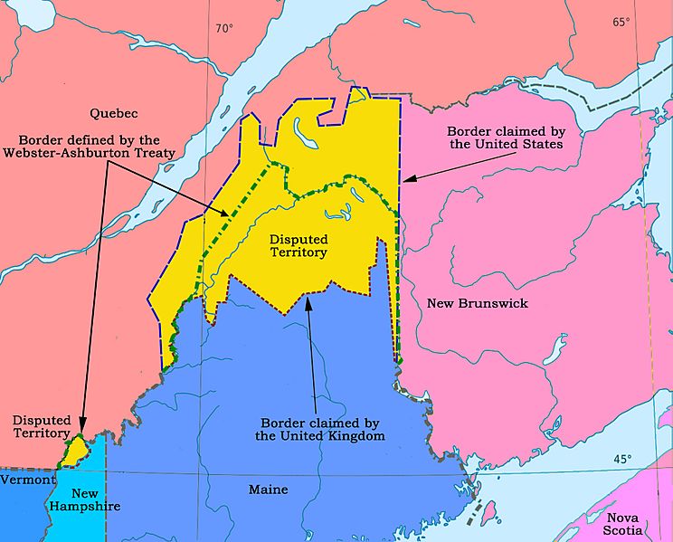
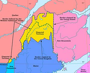
Description: At the end of the American Revolution the boundary between the United States and Canada was defined in the peace treaty. It was discovered later that there were several ambiguities in the definition, due to inaccurate knowledge of the geography. This map shows the disputed area in the east.
Title: Disputed Border in the East
Credit: Own work
Author: Nwbeeson
Usage Terms: Creative Commons Attribution-Share Alike 4.0
License: CC BY-SA 4.0
License Link: https://creativecommons.org/licenses/by-sa/4.0
Attribution Required?: Yes
Image usage
The following 2 pages link to this image:

All content from Kiddle encyclopedia articles (including the article images and facts) can be freely used under Attribution-ShareAlike license, unless stated otherwise.