
Image: DomesdayCountyCircuitsMap
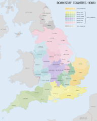
Size of this preview: 479 × 599 pixels. Other resolutions: 192 × 240 pixels | 2,398 × 3,000 pixels.
Original image (2,398 × 3,000 pixels, file size: 1.49 MB, MIME type: image/png)
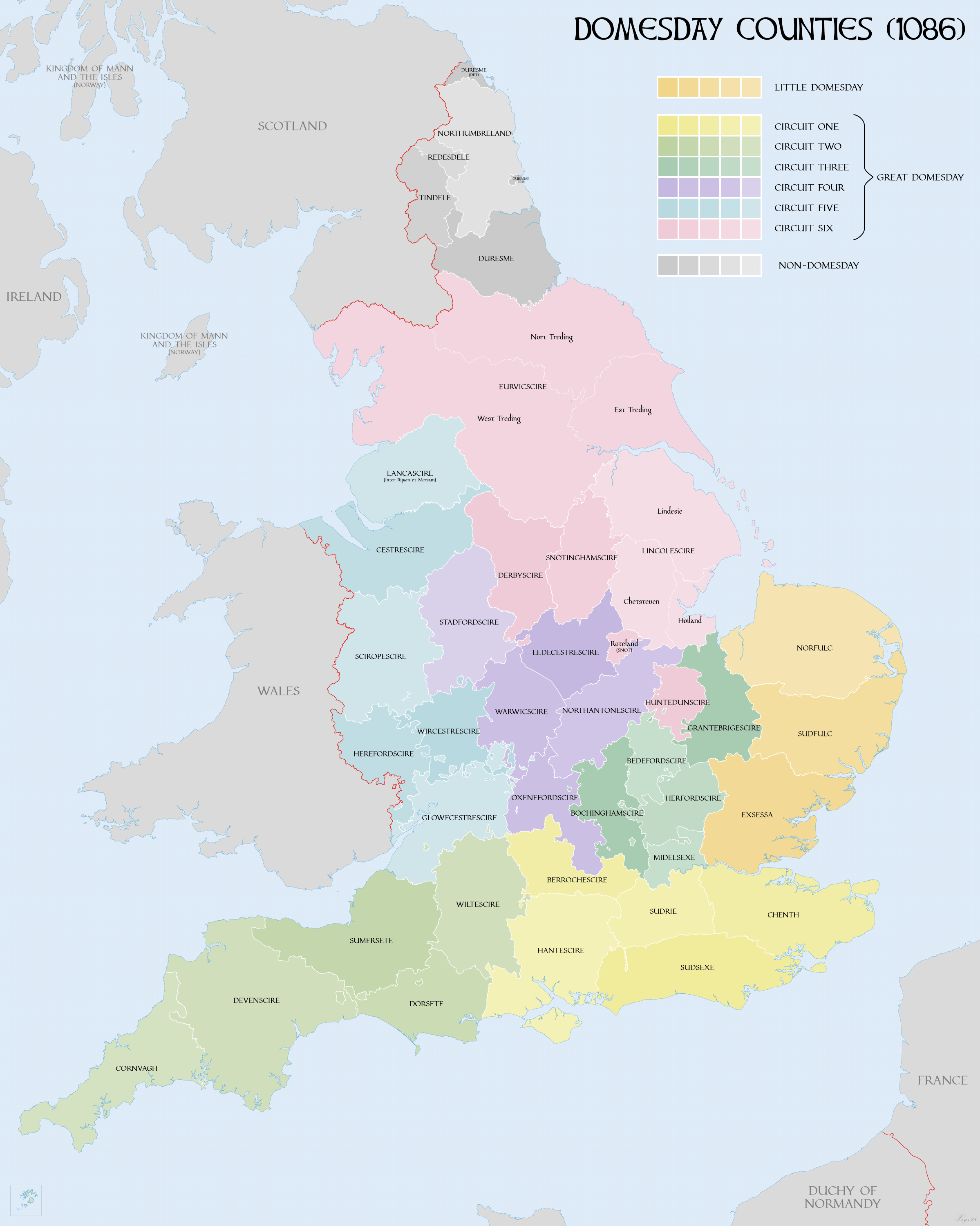
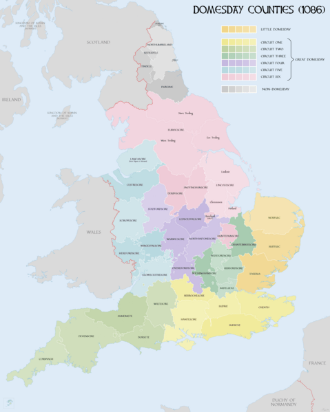
Description: Map of the English counties surveyed in Domesday Book. Showing Little and Great Domesday and circuits
Title: DomesdayCountyCircuitsMap
Credit: Own work This file was derived from: Map of England 1086.png
Author: XrysD
Usage Terms: Creative Commons Attribution-Share Alike 4.0
License: CC BY-SA 4.0
License Link: https://creativecommons.org/licenses/by-sa/4.0
Attribution Required?: Yes
Image usage
The following page links to this image:

All content from Kiddle encyclopedia articles (including the article images and facts) can be freely used under Attribution-ShareAlike license, unless stated otherwise.