
Image: Dorset UK location map

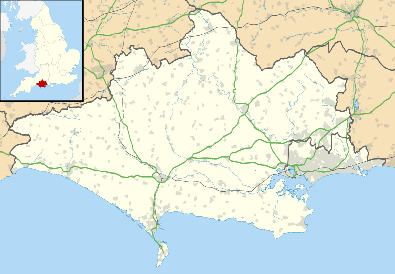
Description: Map of Dorset, UK with the following information shown: Administrative borders Coastline, lakes and rivers Roads and railways Urban areas Equirectangular map projection on WGS 84 datum, with N/S stretched 155% Geographic limits: West: 2.99W East: 1.65W North: 51.10N South: 50.50N
Title: Dorset UK location map
Credit: Ordnance Survey OpenData. Administrative borders and coastline data from Boundary-Line product. All other geographic data from Meridian 2 product. Inset derived from England location map.svg by Spischot.
Author: Nilfanion, created using Ordnance Survey data
Permission: This file is licensed under the Creative Commons Attribution-Share Alike 3.0 Unported license. Attribution: Contains Ordnance Survey data © Crown copyright and database right You are free: to share – to copy, distribute and transmit the work to remix – to adapt the work Under the following conditions: attribution – You must attribute the work in the manner specified by the author or licensor (but not in any way that suggests that they endorse you or your use of the work). share alike – If you alter, transform, or build upon this work, you may distribute the resulting work only under the same or similar license to this one. http://creativecommons.org/licenses/by-sa/3.0 CC BY-SA 3.0 Creative Commons Attribution-Share Alike 3.0 truetrue
Usage Terms: Creative Commons Attribution-Share Alike 3.0
License: CC BY-SA 3.0
License Link: http://creativecommons.org/licenses/by-sa/3.0
Attribution Required?: Yes
Image usage
More than 100 pages link to this image. The following list shows the first 100 page links to this image only. A full list is available.
- Abbotsbury Abbey
- Abbotsbury Castle
- All Saints Church, Hampreston
- Allington, Dorset
- Anvil Point Lighthouse
- Athelhampton
- Badbury Rings
- Banbury Hill
- Beaminster
- Bindon Hill
- Blandford Camp
- Blandford Forest
- Blandford Forum
- Boscombe
- Bridport
- Brownsea Castle
- Brownsea Island
- Buzbury Rings
- Canford Heath
- Cerne Abbas
- Chalbury Hillfort
- Chickerell
- Christchurch Harbour
- Church of St Candida and Holy Cross
- Coney's Castle
- Corfe Castle
- Corpus Christi Church, Boscombe
- Crossways, Dorset
- Dorchester, Dorset
- Dudsbury Camp
- Duncliffe Wood
- Dungeon Hill
- Durlston
- Duropolis
- East Weare Battery
- Ferndown
- Fifehead Wood
- Five Marys
- Flagstones Enclosure
- Folke Wood
- Furzehill Wood
- Furzey Island
- Gillingham, Dorset
- Green Island (Dorset)
- Hampton Down Stone Circle
- Hell Stone
- Highcliffe
- Isle of Portland
- Jordan Hill Roman Temple
- Kimmeridge
- Kimmeridge Bay
- Kingston Russell Stone Circle
- Knowlton Circles
- Lambert's Castle
- Litton Cheney
- Long Island (Dorset)
- Lulworth Cove
- Lyme Regis
- Maiden Castle, Dorset
- Maumbury Rings
- Melcombe Regis
- Mount Pleasant henge
- Mudeford
- Nine Stones, Winterbourne Abbas
- Oakley Down Barrow Cemetery
- Old Harry Rocks
- Osmington Mills
- Portland Bill Lighthouse
- Portland Breakwater Lighthouse, Dorset
- Portland Castle
- Poundbury
- Poxwell
- Rempstone Stone Circle
- Ridgeway Hill Viking burial pit
- Round Island (Dorset)
- Sacred Heart Church, Bournemouth
- Sandsfoot Castle
- Shaftesbury
- Shaftesbury Abbey
- Shearplace Hill Enclosure
- Sherborne
- St. Aldhelm's Chapel, St. Aldhelm's Head
- St Catherine's Hill, Dorset
- St Leonards, Dorset
- St Mary's Church, Ferndown
- Stalbridge
- Studland
- Sturminster Newton
- Swanage
- Swash Channel Wreck
- Tarrant Abbey
- The Grey Mare and her Colts
- The Keep, Dorchester
- Thickthorn Down Long Barrows
- Upton, Dorset
- Verwood
- Waddon Hill
- Wareham, Dorset
- Wareham Castle and town defences
- Weymouth, Dorset
