
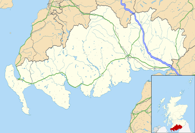
Image: Dumfries and Galloway UK location map

Description: Blank map of Dumfries and Galloway, UK with the following information shown: Administrative borders Coastline, lakes and rivers Roads and railways Urban areas Equirectangular map projection on WGS 84 datum, with N/S stretched 170% Geographic limits: West: 5.25W East: 2.75W North: 55.50N South: 54.50N
Title: Dumfries and Galloway UK location map
Credit: Ordnance Survey OpenData. Administrative borders and coastline data from Boundary-Line product. All other geographic data from Meridian 2 product. Inset derived from Inset derived from File:Scotland location map.svg by NordNordWest.
Author: Nilfanion, created using Ordnance Survey data
Permission: This file is licensed under the Creative Commons Attribution-Share Alike 3.0 Unported license. Attribution: Contains Ordnance Survey data © Crown copyright and database right You are free: to share – to copy, distribute and transmit the work to remix – to adapt the work Under the following conditions: attribution – You must attribute the work in the manner specified by the author or licensor (but not in any way that suggests that they endorse you or your use of the work). share alike – If you alter, transform, or build upon this work, you may distribute the resulting work only under the same or similar license to this one. http://creativecommons.org/licenses/by-sa/3.0 CC BY-SA 3.0 Creative Commons Attribution-Share Alike 3.0 truetrue
Usage Terms: Creative Commons Attribution-Share Alike 3.0
License: CC BY-SA 3.0
License Link: http://creativecommons.org/licenses/by-sa/3.0
Attribution Required?: Yes
Image usage
The following 45 pages link to this image:
- Ae, Dumfries and Galloway
- Annan, Dumfries and Galloway
- Barburgh Mill
- Brow, Dumfries and Galloway
- Caerlaverock Castle
- Caerlaverock National Nature Reserve
- Cairnholy
- Cairnsmore of Fleet
- Carsluith Castle
- Dalgarnock
- Doon Castle Broch
- Dumfries
- Dunscore
- Eastriggs
- Ecclefechan
- Enterkinfoot
- Gretna, Dumfries and Galloway
- Holm House and the Crawick Glen
- Isle of Whithorn
- Kirkbride, Durisdeer
- Kirkcudbright
- Kirkinner
- Lochmaben
- Lockerbie
- Luce Bay
- Mennock
- Moffat
- Mull of Galloway
- Newbie, Dumfries and Galloway
- Newton Stewart
- Orchardton Castle
- Orchardton Tower
- Parkgate, Dumfries and Galloway
- Port William, Dumfries and Galloway
- Rough Firth
- Stranraer
- Thornhill, Dumfries and Galloway
- Torhouse
- Trusty's Hill
- Water of Fleet
- Whitcastles stone circle
- Whithorn
- Wigtown
- Wigtown Harbour
- Template:Location map Scotland Dumfries and Galloway
