
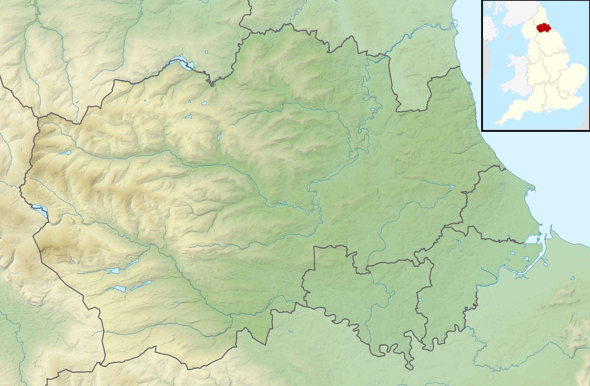
Image: Durham UK relief location map
Description: Relief map of County Durham, UK. Equirectangular map projection on WGS 84 datum, with N/S stretched 170% Geographic limits: West: 2.40W East: 1.05W North: 54.95N South: 54.43N
Title: Durham UK relief location map
Credit: Ordnance Survey OpenData. Relief data from Land-Form Panorama product. Administrative borders and coastline data from Boundary-Line product. All other geographic data from Meridian 2 product. Inset derived from England location map.svg by Spischot.
Author: Nilfanion, created using Ordnance Survey data
Permission: This file is licensed under the Creative Commons Attribution-Share Alike 3.0 Unported license. Attribution: Contains Ordnance Survey data © Crown copyright and database right You are free: to share – to copy, distribute and transmit the work to remix – to adapt the work Under the following conditions: attribution – You must attribute the work in the manner specified by the author or licensor (but not in any way that suggests that they endorse you or your use of the work). share alike – If you alter, transform, or build upon this work, you may distribute the resulting work only under the same or similar license to this one. http://creativecommons.org/licenses/by-sa/3.0 CC BY-SA 3.0 Creative Commons Attribution-Share Alike 3.0 truetrue
Usage Terms: Creative Commons Attribution-Share Alike 3.0
License: CC BY-SA 3.0
License Link: http://creativecommons.org/licenses/by-sa/3.0
Attribution Required?: Yes
Image usage
The following 4 pages link to this image:
