
Image: ES-Mesoamérica

Size of this preview: 800 × 588 pixels. Other resolutions: 320 × 235 pixels | 1,074 × 789 pixels.
Original image (1,074 × 789 pixels, file size: 1,002 KB, MIME type: image/png)
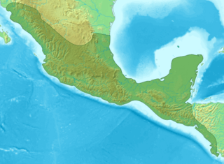
Description: Map of Meso-america
Title: ES-Mesoamérica
Credit: Mesoamérica.png
Author: Mesoamérica.png: Yavidaxiu derivative work: DavoO (talk)
Usage Terms: Creative Commons Attribution-Share Alike 3.0
License: CC-BY-SA-3.0
License Link: http://creativecommons.org/licenses/by-sa/3.0/
Attribution Required?: Yes
Image usage
The following 29 pages link to this image:
- 2017 Chiapas earthquake
- Caracol
- Cañada de la Virgen
- Chichen Itza
- Copán
- Cuicuilco
- Dzibilchaltun
- El Mirador
- El Tajín
- Joya de Cerén
- Kulubá
- La Blanca, Peten
- Malinalco (archeological site)
- Mayapan
- Muyil
- Nakbe
- Naranjo
- Pahñú
- Palenque
- Pyramid of the Magician
- Takalik Abaj
- Tazumal
- Teotihuacán
- Tikal
- Tula (Mesoamerican site)
- Tzibte Yux
- Xochicalco
- Yaxchilan
- Zaculeu

All content from Kiddle encyclopedia articles (including the article images and facts) can be freely used under Attribution-ShareAlike license, unless stated otherwise.