
Image: End of Sweet Water, Cattawade - geograph.org.uk - 149956
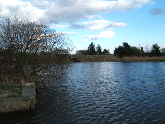
Description: End of Sweet Water, Cattawade. This is Cattawade the point beyond which the River Stour is tidal. The causeway carries the A137 from Manningtree to Brantham. Immediately the other side of the road is Brantham Sluice that marks the beginning of the Stour Estuary. The marshes around Cattawade are an important wildlife habitat that also supports diverse and unusual plant life
Title: End of Sweet Water, Cattawade - geograph.org.uk - 149956
Credit: From geograph.org.uk
Author: Glyn Baker
Permission: This image was taken from the Geograph project collection. See this photograph's page on the Geograph website for the photographer's contact details. The copyright on this image is owned by Glyn Baker and is licensed for reuse under the Creative Commons Attribution-ShareAlike 2.0 license.
Usage Terms: Creative Commons Attribution-Share Alike 2.0
License: CC BY-SA 2.0
License Link: https://creativecommons.org/licenses/by-sa/2.0
Attribution Required?: Yes
Image usage
The following page links to this image:
