
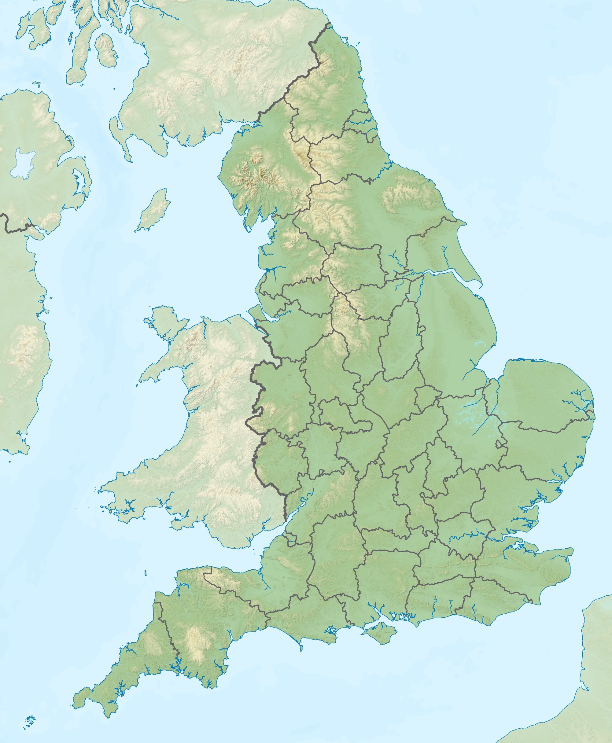
Image: England relief location map
Size of this preview: 494 × 600 pixels. Other resolutions: 198 × 240 pixels | 2,002 × 2,431 pixels.
Original image (2,002 × 2,431 pixels, file size: 730 KB, MIME type: image/jpeg)
Description: Relief map of England, UK. Equirectangular map projection on WGS 84 datum, with N/S stretched 170% Geographic limits: West: 6.75W East: 2.0E North: 56.0N South: 49.75N
Title: England relief location map
Credit: Ordnance Survey OpenData. Relief data from Land-Form Panorama product. Administrative borders and coastline data from Boundary-Line product. National Geospatial-Intelligence Agency Coastline data outside of Great Britain
Author: Nilfanion
Usage Terms: Creative Commons Attribution-Share Alike 3.0
License: CC BY-SA 3.0
License Link: http://creativecommons.org/licenses/by-sa/3.0
Attribution Required?: Yes
Image usage
The following 48 pages link to this image:
- Abberton Reservoir
- Beast Cliff
- Benacre Broad
- Billinge Hill, Blackburn
- Birmingham
- Bomb Crater Pond (Walthamstow)
- Bournemouth
- Bradford
- Brighton
- Bristol
- Brown Willy
- Cambridge
- Clapton Pond
- Coventry
- Doncaster
- Exeter
- Farley Mount
- Fin Cop
- Fritton Lake
- Highams Park Lake (Waltham Forest, London)
- Humber
- Ipswich
- Kingston upon Hull
- Loch Neaton
- London
- Manchester
- Middleham Hoard
- Norwich
- Ostler's Plantation
- Oxford
- Pendle Hill
- Pendle witches
- Plymouth
- Port of Tilbury Police
- Portsmouth
- River Nidd
- Selworthy Beacon
- Sheffield
- Sherwood Forest
- Southampton
- Stiperstones
- Stoke-on-Trent
- Sutton Hoo
- Swin (Thames)
- Worthing
- York
- Template:Location map England
- Template:Location map UK England

All content from Kiddle encyclopedia articles (including the article images and facts) can be freely used under Attribution-ShareAlike license, unless stated otherwise.