
Image: Europe relief laea location map

Size of this preview: 701 × 599 pixels. Other resolutions: 281 × 240 pixels | 1,580 × 1,351 pixels.
Original image (1,580 × 1,351 pixels, file size: 1.1 MB, MIME type: image/jpeg)
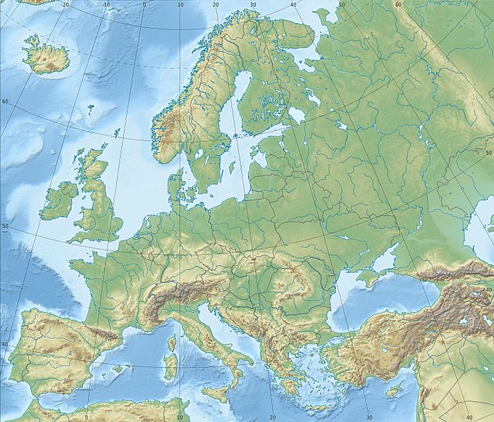
Description: Physical location map Europe; Lambert azimuthal equal-area projection
Title: Europe relief laea location map
Credit: Own work Data from http://naturalearthdata.com/, Scale: 1:10 Mio SRTM3, ETOPO1
Author: Alexrk2
Usage Terms: Creative Commons Attribution-Share Alike 3.0
License: CC BY-SA 3.0
License Link: https://creativecommons.org/licenses/by-sa/3.0
Attribution Required?: Yes
Image usage
The following 83 pages link to this image:
- Aberdeen
- Birmingham
- Bournemouth
- Bradford
- Bray, County Wicklow
- Brighton
- Bristol
- Brussels
- Cambridge
- Cardiff
- Carlow
- Chișinău
- Cork (city)
- Coventry
- Doncaster
- Drogheda
- Dublin
- Dundalk
- Edinburgh
- Ennis
- Exeter
- Fontéchevade
- Galway
- Glasgow
- Jan Mayensfield
- Katowice
- Kilkenny
- Killarney
- Kingston upon Hull
- Le Moustier
- Leicester
- Limerick
- Lincoln, England
- Llutxent
- London
- Lviv
- Macroom
- Manchester
- Milton Loch
- Newport, Wales
- Norwich
- Opole
- Oslo
- Oxford
- Paris
- Peja
- Perth, Scotland
- Peñalara
- Plymouth
- Porto
- Portsmouth
- Pristina
- Pula
- Pärnu
- Radom
- Riga
- Roa de Duero
- Rome
- Saaremaa
- Sheffield
- Sidrón Cave
- Skagerrak
- Sligo
- Sopron
- Southampton
- Split, Croatia
- Stavanger
- Stoke-on-Trent
- Strait of Otranto
- Swansea
- Szczecin
- Szentes
- Tabernas Desert
- Tatra Mountains
- Tralee
- Varna
- Warsaw
- Waterford
- Westport, County Mayo
- Wexford
- Worthing
- York
- Øresund

All content from Kiddle encyclopedia articles (including the article images and facts) can be freely used under Attribution-ShareAlike license, unless stated otherwise.