
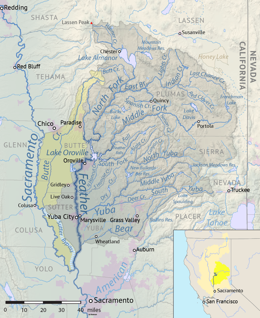
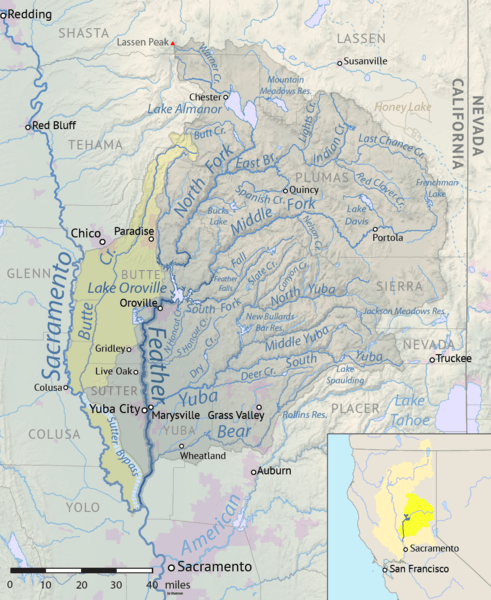
Image: Feathermap-01
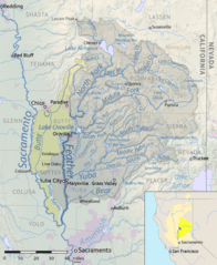
Size of this preview: 491 × 600 pixels. Other resolutions: 196 × 240 pixels | 993 × 1,213 pixels.
Original image (993 × 1,213 pixels, file size: 1.37 MB, MIME type: image/png)
Description: Map of the Feather River drainage basin in Northern California, USA. Yellow indicates the artificially connected Butte Creek and Sutter Bypass basins. Made using USGS National Map and NASA SRTM data.
Title: Feathermap-01
Credit: Own work
Author: Shannon1
Usage Terms: Creative Commons Attribution-Share Alike 4.0
License: CC BY-SA 4.0
License Link: https://creativecommons.org/licenses/by-sa/4.0
Attribution Required?: Yes
Image usage
The following 6 pages link to this image:

All content from Kiddle encyclopedia articles (including the article images and facts) can be freely used under Attribution-ShareAlike license, unless stated otherwise.