
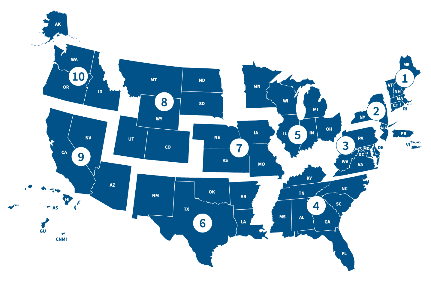
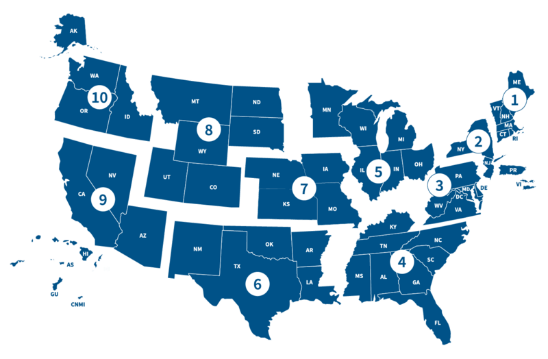
Image: Fema regions map
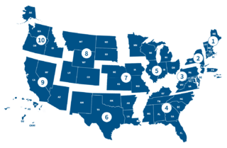
Size of this preview: 800 × 524 pixels. Other resolutions: 320 × 209 pixels | 1,436 × 940 pixels.
Original image (1,436 × 940 pixels, file size: 161 KB, MIME type: image/png)
Description: FEMA Regions map grouped by states and number
Title: Fema regions map
Credit: Own work
Author: FEMAdesign
Usage Terms: Creative Commons Attribution-Share Alike 4.0
License: CC BY-SA 4.0
License Link: https://creativecommons.org/licenses/by-sa/4.0
Attribution Required?: Yes
Image usage
The following page links to this image:

All content from Kiddle encyclopedia articles (including the article images and facts) can be freely used under Attribution-ShareAlike license, unless stated otherwise.